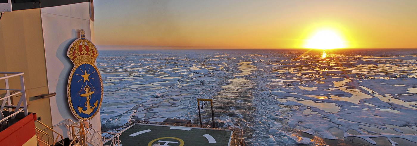
We reached the outer limit of the Russian Exclusive Economic Zone (EEZ) during the evening August 27. Our goal was to map and sample the continental slope towards the southernmost Mendeleev Rise (sometimes called Mendeleev Ridge) from where the Russian EEZ ended. The mapping, as well as sediment and water sampling, was made along a depth transect downslope from about 300 m to 1000 m water depth. The ice conditions were really in our favor with big open patches that allowed high-quality multibeam mapping and sub-bottom profiling to characterize the seafloor shape and upper most sediment layers. I must admit I never dared to dream about so much open leads in this area of the Arctic Ocean, even if the last decade contained years when this particular area around 75°N has been sea ice free.

Gravity coring from the aft-deck of icebreaker Oden. Markus Karasti and Matt O’Regan from Department of Geological Sciences, Stockholm University, are keeping the corer from swinging in the gale force wind. Nights are now fast getting darker for each day. Photo: Martin Jakobsson
Instead of sea ice, the wind became our main challenge. Near gale force every second day. Strong wind makes it difficult to maintain position during sediment coring or oceanographic station work because Oden does not have a dynamic position system to keep the icebreaker still at one spot. The tall icebreaker catches the wind like a sail and begins to drift with the wind very fast. In addition, we take the sediment cores from the aft of the ship and must therefore shut down the two giant propellers that otherwise push to much water towards the sediment corer. After five coring stations along the continental slope, the main coring winch delivered by McArtney refused to start. Oden’s engineers tried hard to find out the problem. We moved over to do some more multibeam mapping in the meantime. This is the beauty of a multidisciplinary expedition; we can always collect some kind of data for the program, even if for example a winch system temporarily is down. After many hours of work without finding why the winch refused to start, we switched the coring handling system to use the second winch by North Sea that was delivered to Oden just before the start of the expedition. I am now very glad for the decision to bring along a spare winch. Without it, the entire program of taking long sediment cores would have been over at this point! Winches have been the main problem on pretty much all my expeditions!

Björn Eriksson documenting sediment coring procedures. The stainless steel devices mounted on the core barrel are holders from temperature probes used to measure the temperature of the Arctic Ocean sediments with. Sediment temperature is one of the critical parameters for numerical modeling of the stability of gas hydrates in slope sediments. Photo: Martin Jakobsson
When the second coring winch made by North Sea was setup, we took a +8 m long sediment core with our piston corer. In fact, the new corer built by Draupnir Einarsson in our workshop at the Department of Geological Sciences, Stockholm University, is a real success. It is a major improvement from the older one we had, and it takes one long core after another. We even take up to 6 m long gravity cores with it!

Arne Lif watching the compressors that supply air to the seismic airgun. This qualifies for one of the more unpleasant watches of all watches needed to maintain a 24/7 operation. We can never stop up to collect data, so operation of all equipment must go on night and day. Photo: Martin Jakobsson
Out goal is to take one piston core, one gravity core and one multicore at most sites. At the evening August 30 the work on the continental slope towards southern Mendeleev Rise was completed. It was now time to begin the seismic reflection profile that aims to link the sediment stratigraphy of this area to that of Arlis Plateau further north. It is always a challenge to run seismic reflection systems in central Arctic Ocean conditions. A seismic source transmitting a sound pulse into the water and long hydrophone streamer for listening to the returned signal must be towed behind the ship. There is a constant risk of ice hitting the seismic system and destroy it, sometimes even tearing it away. After some initial problems of a freezing seismic airgun used as seismic soure, the system was up and running and begun collecting information from the seafloor sediments. Tom Flodén and Arne Lif operated the seismic system throughout the night, and altogether a more than 140 km long line ending at the Arlis Plateau.

