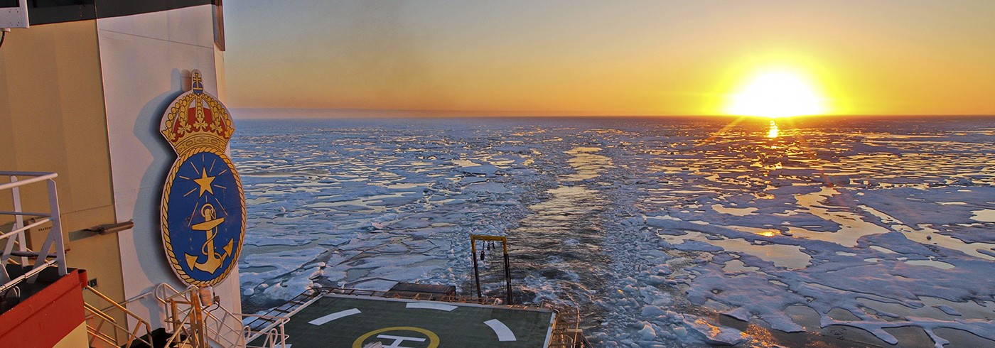
Still moving east. Some south. Some north. But definitely east. East is towards Point Barrow. Once at F there was a new plan for F–G. Shorter more focused to an earlier known location. 2008 the area was found to be interesting.
We make progress trough the ice. Slow progress. Fog and more fog. Can not see the bow again. We have to sit still and wait. Start again early morning. Just having the radar screen to guide us. Try to guess where there is open water. Is it ridges? What’s all the white? A normal eye sees nothing. It must be the radar eye of the captain and the mates to make something out of the mess. Searching the way forward. Slowly.
Much longer between stations now. Much longer in time. Stations in between; CTD, GoFlo, Submersible pump, Multicorer, Rumohrcorer, Piston corer and gravitycorer. The full arsenal. Station decided as the quick analyses come. Let’s throw in an extra CTD or a Multicorer. Stations 63–67 spans from 60–500 meter depth over 110 NM. In ice. All in ice. Now progress is all about ice. In the Laptev Sea it was all about methane and what we found in science.
We download our own HRPT images from the weather satellites. 6×6 km resolution. We download the AMSRE 2 images with twice as high resolution. Sometimes we get visual images with super resolution but mostly and always filled with clouds. We occasionally get SAR images. SAR sees through clouds. But SAR images takes time from order to delivery. Often the coverage is behind us. No help there. But the resolution is good!
Sea ice moves. It is always drifting towards somewhere. The wind drives ice. Even if we have the best image it can not be used for detailed navigation. One can pick areas that look better and head for those. One can not drive around floes in the image. Unless one can determine the drift of the ice since the image was taken. Images are often 12–48 hours old. Drift is often 5–1 knots. Ice has moved a lot between the snapshots.
Where are we in all this? Is that one out there this one here in the picture? New material from NIC. With analysis. Area A to F. Defining ice coverage percentage and ice type. Now we move from 80–100 %, 80 % first year ice and 20 % multiyear ice, to 80–100 %, 20 % first year ice and 80 % multiyear ice. Image is true. From thin ice with ridges and very few leads, to large floes with water between. Like lakes and islands.
Sun shining through. Fog gone! Brilliant! The eyes are not used to the sharp sunshine after weeks of fog. Sunshades down on the bridge. Beautiful sunset. Not sunset. Almost. Still midnight sun. We are off time. Still on UTC. 11 hrs after local time. We do not follow the day, we follow UTC. Coming to Barrow we will have to change our time 12 hours backwards. 1 hour difference according to the sun and 12 hours according to the clock.
Station 67 is northern turning point. At least according to plan. Scientists want more. Further north, further down, higher up. As much as possible are the keywords! Maybe we go north of the turning point. New turning point or move the old? We will see. Not there yet. Ice is in the way. Between us. Around us. We are in a world of ice.


