We reached the sea ice edge over the Lomonosov Ridge at about 85°N 20 September. This location is only 15 nautical miles south from where we crossed the Lomonosov Ridge in 1996 during my first expedition to the Arctic Ocean. It was there we were the first to discover that thick glacier ice had grounded and eroded the ridge crest down to 1 000 m below present sea level during previous glacial periods. The ice erosion was mapped with chirp sonar towed behind Oden; not at all an easy task. The chirp sonar records did not contain any directional information about where the thick icebergs, or possibly a coherent shelf ice, came from. Only one survey line across the ridge at about 85°N was acquired in 1996.
To my surprise, no one has gone over these areas since 1996 and mapped them with modern technology. All icebreakers that passed here have only collected underway mapping data, and not stopped to survey the ridge crest properly. But on the other hand, the area around 85°N is usually covered by heavy sea ice. However, not this year! We are therefore in a unique position to map the crest with our modern multibeam sonar and finally after all these years sort out the nature of the ice grounding in the deep central Arctic Ocean. All new data we have collected concerning the Arctic Ocean glacial history during the SWERUS-C3 leg 2 surveys along the East Siberian slope, the Arlis Plateau and southernmost Lomonosov Ridge made me extremely anxious to once and for all sort out what really has happened on the central Lomonosov Ridge. I will not report on the mapping results here, but I can say, they are fantastic! We have found yet another piece of the Arctic Ocean glacial puzzle!
We have several research questions where the answers may in part be found by investigating the central Lomonosov Ridge. In addition to map for the Arctic Ocean glacial history, we aimed to follow up the pathway of Atlantic water along the Lomonosov Ridge. This requires seafloor mapping as well as sampling of water mass properties.
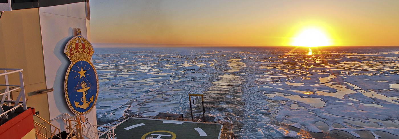
The Arctic summer season is just about to end here at 85°N. We have witnessed an amazing nature show the latest days. The deep Arctic Ocean is freezing along the pack ice edge. I have never before seen so clearly all the steps the ocean surface goes through before a new sea ice cover is fully formed. The first to be seen is formation of so called “frazil ice” along streaks of the ocean surface. After some time, these streaks of frazil ice forms a more coherent milky white layer that covers large areas. Since we presently have a quite big ocean swell when the freezing is taking place, the milky white layer bulges up and down with the swell. Smaller turbulent waves that otherwise make the ocean surface rough during gale force wind are all dampened out. The next step consists of formation of “ice pancakes”. The entire ocean becomes covered by these pancakes that together form an amazing pattern. The pancakes are in some places pushed up on each other to form a thicker layer of sea ice. Salt is expelled during the ice freezing process to form heavy water that sinks down. This process is the key to the ocean circulation system, and it feels amazing to stand and watch the processes all over the area where we presently survey!

Frazil ice formation along streak of a stormy central Arctic Ocean. Photo: Martin Jakobsson

Frazil ice the merges together to give the ocean surface a milky look. Photo: Martin Jakobsson

Formation of ice pancakes. Photo: Martin Jakobsson

Close up of ice pancakes. Photo: Martin Jakobsson