October Revolution Island Tectonics
1 July 2002 - 31 August 2002
Tectonic elements of the Eurasian Arctic in the late Mesozoic.
The origin of the Arctic Basin remains one of the major mysteries of earth’s tectonic history. This vast ocean, largely covered by polar ice, is rimmed by wide shallow continental shelves; they compose the platform for a scattering of islands, large and small, that provide vital insight into the surrounding bedrock beneath the shelf seas. Old, deeply eroded mountain belts, like the Caledonides of Scandinavia and Greenland and the Uralides of central Russia, strike northwards towards the Pole, to be lost beneath the Mesozoic and Tertiary strata of the continental shelves and the sea and ice of the high Arctic Ocean. Mare Incognita is a suitable name for this least-known ocean.
The geology of the deeper parts of the Arctic Basin, north of the continental shelves, is known only from geophysical data and a few bottom samples collected from ice-breakers by piston-coring the seabed. Interpretation of this geophysical data is not uncontroversial. The high Arctic Basin is partly composed of deep ocean that formed in the Tertiary and late Mesozoic at the same time as Greenland separated from Scandinavia. It also contains ridges that reach within a few hundred meters of the surface and may be made up of continental or oceanic crust. This distinction is not only important for deciphering the origin of the high Arctic; it is also fundamental for all considerations of resource potential and therefore of prime significance for the United Nation’s Convention on the Law of the Sea.
Shortly after the Second World War, Soviet geoscientists discovered that a long (1 500 km), narrow (150 km) ridge crossed the Arctic Basin from the vicinity of the Laptev Sea to Greenland (figure 2). They named the ridge after Michail Lomonosov, a famous Russian scientist, and demonstrated that it had the geophysical characteristics (seismic velocity structure, density, magnetic properties, etc.) of continental crust. The Lomonosov Ridge is separated from the Eurasian continental margin by deep (>3 km) ocean; bathymetric mapping (eg. Jacobsson et al., 2000) has shown that the Eurasian Basin is divisible into northern (Amundsen) and southern (Nansen) basins, separated by an ocean floor spreading axis (the Gakkel Ridge).
Discovery of the Gakkel Ridge spreading axis and its continuation via the Fram Strait into the North Atlantic Ocean led directly to the conclusion that the rocks of the Lomonosov Ridge originated along the northern edge of Eurasia (figure 1) and that the bedrock of this transpolar ridge should correspond closely to that of Eurasia’s northernmost margin. Not only would a detailed analysis of the latter provide a basis for understanding the Lomonosov Ridge; it should also provide a necessary foundation for interpreting the origin of the Amerasian Basin.

Tectonic setting of the Arctic showing the inferred opening of the Amerasian Basin in the Mesozoic (black arrows) and the Eurasian Basin and North Atlantic in the Tertiary (white arrows). Based on Jackson and Gunnarson, 1990.
During the last decade SWEDARCTIC expeditions have explored the northern margin of Eurasia from Svalbard to Severnaya Zemlya, i.e. the margins of the Barents and Kara Seas. These studies have laid the foundation for a new INTAS (International Association for the promotion of co-operation with scientists from the New Independent States of the Former Soviet Union) project, NEMLOR – Northern Eurasian Margin and Lomonosov Ridge. It brings together geoscientists from Uppsala, Cambridge, Hannover, St. Petersburg, Moscow and Novosibirsk. NEMLOR research started in October 2002 and is designed for the coming three years, analysing existing data from the Eurasian margin and related parts of the Arctic Basin; plans are going ahead for new studies, including expeditions to Novaya Zemlya, the New Siberian Islands and further east, and acquisition of new geophysical data across the polar basin.
Fieldwork 2002
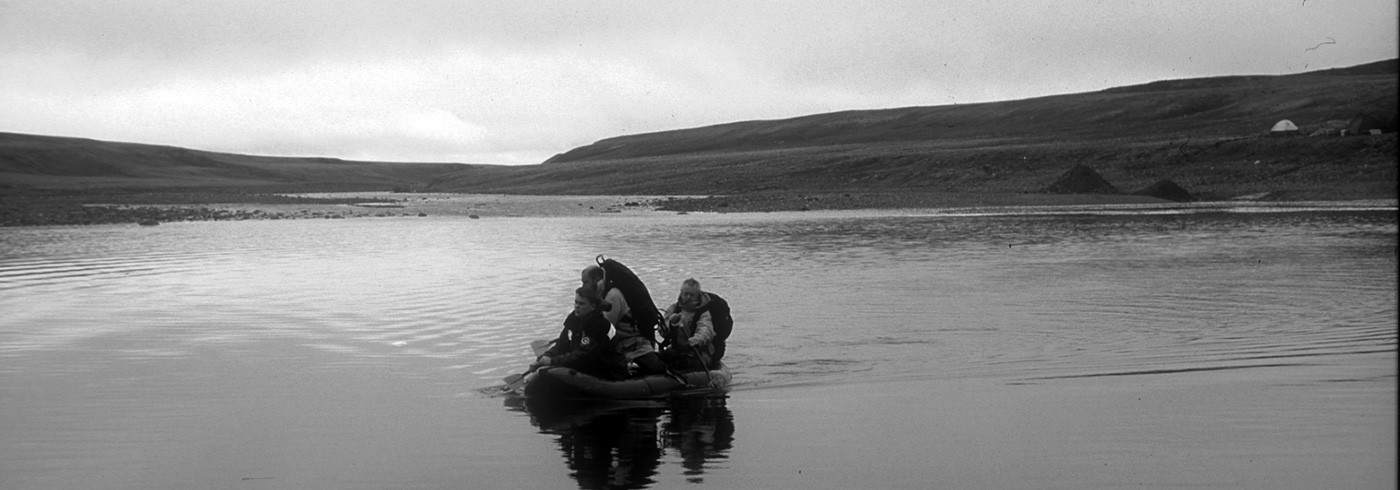
During the summer field season 2002, research on northernmost Siberia continued with field parties in northern Taymyr (see Pease) and on October Revolution Island, a central part of the Severnaya Zemlya Archipelago. Five geologists participated in the October Revolution Island party; Gerhard Bax (re-mote sensing and GIS), Elena Golubkova (palaeontology), Alexander Larionov (isotope geology), Henning Lorenz (PhD student) and David Gee (tectonics). The work was concentrated on two areas, one in the southeast and the other more centrally placed. The fieldwork was preceded by a thorough analysis of Landsat and Corona satellite imagary by Lorenz, providing an essential platform for detailed field studies of stratigraphy, structure and palaeontology and the collection of material for analyses of isotope age and provenance.
October Revolution Island geology
The Severnaya Zemlya group of islands (originally called “Tsar Nikolai II Land”) has a bedrock dominated by Neoproterozoic and Palaeozoic sedimentary rocks (Kuz’min et al., 2000). Parts of these successions can be followed southwards into northernmost Taymyr; together they compose a geological entity, the North Kara Terrane. The tectonic history of the North Kara Terrane provides the focus for our Severnaya Zemlya research, this analysis establishing a basis for correlation elsewhere in northern Eurasia and across the Arctic Basin and Lomonosov Ridge to the Amerasian margins.
Whereas the easternmost of the Severnaya Zemlya islands, Bol’shevik Island, is composed of Neoproterozoic strata, reaching up into the Vendian, October Revolution Island is dominated by Palaeozoic rocks of Cambrian to Devonian age. The relationship between the Neoproterozoic succession, mainly turbidites, and overlying Cambrian strata is apparently not exposed on either of the islands; it may be uninterrupted, as in northwestern Taymyr, or may be marked by a significant unconformity. The Early Cambrian strata on October Revolution Island are shallow marine siliciclastics that pass up, in the Middle Cambrian, into black shales and then, in the Late Cambrian, into turbidites (Bogolepova et al., 2000). A major unconformity separates these Cambrian strata from overlying Early Ordovician shallow water sandstones and limestones, which give way upwards into variegated shales, sandstones and volcanites. Evaporites, with gypsum and salt pseudomorphs are also present in the Middle Ordovician, which ends in dark shales overlain by Late Ordovician sandstones and limestones. The Silurian is dominated by thick massive limestones that give way in the Late Silurian into red marls and then Devonian conglomerates and red sandstones. Carboniferous strata are absent in Severnaya Zemlya and these Palaeozoic rocks are unconformably overlain by Triassic (or late Permian) sediments. Upright to E-vergent, tight folds dominate the structure of the October Revolution Island and Bol’shevik Island.
Ongoing work
Defining the structure and tectonic his-tory of the North Kara Terrane is the prime objective of this research programme. Ongoing analyses of structure will allow correlation with off-shore seismic surveys. In the Neoprotero-zoic and Palaezoic, the North Kara Terrane may have been an independent (micro)continent or an essential part of another major continent, eg. Baltica. The preservation of a Vendian and Palaeozoic stratigraphy allows analyses of fossil fauna and flora, palaeomagnetism, geochemistry and age of volcanites and studies of the provenance of the sediments. The North Kara Terrane structure strikes northwards to the edge of the continental shelf, being cut off by the shelf-edge and the oceanic crust of the Nansen Basin. Thus North Kara Terrane rock units probably composed the foundation for the Mesozoic strata of the eastern Lomonosov Ridge, and may have originally extended across the ridge to the Arctic margins of Amerasia.
A controversial aspect of the North Kara Terrane has been the existence of a major early Ordovician unconformity, marking a tectonic episode in the earliest Ordovician and a significant interval of uplift and erosion, prior to new deposition. Our previous fieldwork in 1999 confirmed the existence of this unconformity in one area (location 2 on figure 3). In 2002, a comparable major unconformity was found to be well exposed in the Kan’yon River area further east (location 4 on figure 3).

Geological map of the Severnaya Zemlya Archipelago with locations of field-work in 1999 (No 1 and 2) and 2002 (No 3 and 4).
A highlight of the 2002 field season was the successful application by Lorenz of remote sensing and GIS technologies to the geological analysis. Thanks apparently to the lack of a major glaciation in this polar area during the last glacial maximum (approximately 20,000 years BP) and the long period (approximately 60,000 years) since the area was last subject to widespread ice coverage, most of the superficial deposits are essentially in situ, providing clear signatures from the underlying bedrock. Thus, satellite imagery is providing a powerful tool for detailed geological analysis; it may prove to have widespread application elsewhere in the High Arctic deserts.