Microplates of Taymyr, northern Siberia
19 July 2002 - 17 August 2002Project aims
The earth is made of seven large (108 km2), six intermediate (106–107 km2), and more than 20 smaller (105–106 km2) rigid plates known as microplates. These plates move across the surface of the planet and their creation, interaction, preservation, and destruction defines plate tectonics. Tectonic processes are strongly controlled by the properties of the lithosphere (the earth’s outer crust and the upper mantle immediately below it). For example, the strength and thermal structure of the lithosphere determines where plates will rift apart, where mountain chains will form when plates collide, etc. These processes leave distinctive signatures in the geological record, e.g. mountain belts, sedimentary basins, etc. Our work attempts to unravel the long and complicated convergent and collisional history of the Eurasian Arctic. We are seeking a new understanding of the geodynamic evolution of the Eurasian Arctic and, in this context, Taymyr plays an important role.
The Eurasian plate is one of the largestplates on the earth today, consisting of Asia and Europe (including Fenno-scandia). About 450 million years ago, however, it did not exist; it’s component parts were separated into the East European Craton (Fennoscandia, northern Europe, and parts of Russia west of the Ural Mountains) and the Siberian craton (parts of Russia east of the Ural Mountains to the Verkhoyansk fold belt), in addition to a collage of microplates around their exteriors. Collision between the continental crust of the Siberian and the East European cratons in the late Palaeozoic (about 350 million years ago) created the Ural Mountains and much of the Eurasian plate as we see it today.
The Taymyr Peninsula is the northern-most extension of Siberia, with a coastline along the Arctic Ocean (Kara and Laptev Seas). It is composed of microplates which were attached to northern Siberia by two different collisional events: one in the late Neoproterozoic (about 600 million years ago) and another in the Permo-Triassic (about 250 million years ago). The older collision involved fragments of both oceanic and continental crust, while the younger collision may be related in time to the growth of the Ural Mountains and apparently involved only continental material. Our geologic investigations focus on understanding these two collisional events, defining the microplates involved, and determining where these microplates came from, within the wider context of the tectonic evolution of the Arctic region as a whole.
Taymyr’s microplates
Taymyr divides into three east-west trending belts – the Northern, Central and Southern Belts. The Northern Belt is dominated by Neoproterozoic (ca. 600 Ma) deep-water sandstones, siltstones and shales, thought to represent continental slope deposits. These pass conformably into Cambrian age (ca. 550 Ma) units. They are intruded extensively by granites, some of which yield Carboniferous to Permian ages (300–280 Ma; Vernikovsky et al., 2003, and Pease, unpublished data). These rocks represent Taymyr’s youngest microplate and the ages of the granites probably represent the time this microplate was attached to Siberia. The Central Belt is largely composed of Neoproterozoic fragments of ocean floor and ocean island arc suites (Pease and Vernikovsky, 2000), as well as Grenvillian age (ca. 900 Ma) fragments of continental crust (Pease et al., 2001, and Vernikovskaya et al., 2002). These Proterozoic continental and oceanic rocks were folded and faulted together before they were attached to northern Siberia and the overlying late Vendian, Palaeozoic and early Mesozoic sedimentary rocks were deposited. Consequently, the Central Belt microplate(s) was attached to Siberia prior to the late Vendian (ca. 600 Ma). The Central Belt defines Taymyr’s older microplate. Lower and middle Palaeozoic strata unconformably overlie the older microplate and were folded together with it in the latest Palaeozoic (ca. 300 Ma) as part of a south-vergent foldbelt. Taymyr’s Southern Belt is composed of Palaeozoic and early Mesozoic strata, including prominent Triassic volcanic rocks and mafic sills. Some of these rocks have been folded and faulted, but they have not been moved very far. They mostly represent the erosion of the Siberian craton and deposition at its margin.
Fieldwork
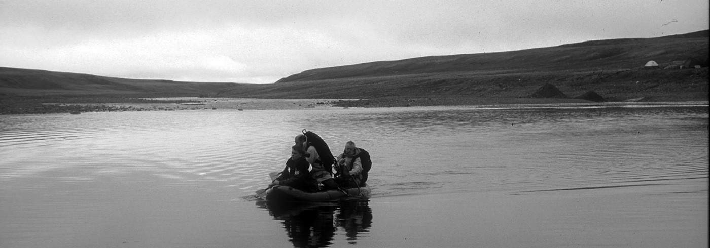
Five geoscientists participated in the 2002 bedrock expedition to the Taymyr Peninsula. The field season lasted from 19 July, when we were dropped-off by helicopter, to 17 August, when a helicopter returned us to Khatanga. During the season we camped (tents and sleeping bags). Data and samples were collected on foot, typically requiring 10–20 km of hiking per day. We benefited from an exceptionally dry season.
Our research concentrated on the collisional rocks of the central and northern belts of Taymyr. The team, led by V. Pease, included S. Persson, D. Meltelkin, A. Vernikovskaya, and V. Vernikovsky. The season was divided into two periods of roughly equal duration. Our easterly camp was next to the Three Sisters lakes in the Central Belt of Taymyr. Our westerly camp was established about 10 km inland from the Kara Sea, along the Goose River within the Northern Belt of Taymyr. Our camp locations were intended to complement the regional picture of stratigraphy and structure developed during previous investigations (Gee and Pease, 1999, and Gee, 1998) allowing us to obtain a wider distribution of age, chemical, structural, and paleomagnetic samples.
Preliminary results
The Central Belt, eastern Taymyr
At Camp 1 island arc rocks are in fault contact with continental sediments. Arc lithologies are exposed to the north-west and consist of mafic to felsic volcanic rocks overlain by volcaniclastic conglomerate and carbonate rocks. The original horizontal layering of these rocks is now near vertical to moderately north-west dipping (photo 1). Arc rocks are metamorphosed to greenschist facies and are over-thrust to the north-west by an amphibolite facies bimodal intrusive complex exhibiting magma mingling textures.
To the south-east, continental sediments in fault contact with the arc sequence show a wide variation in metamorphic grade, generally decreasing to the south-east away from the contact. Near the contact with the arc sequence, a monomict, coarse-grained conglomerate is exposed. Its quartz clasts are white, lavender, and rose colored. These cigar-shaped pebbles and cobbles have experienced constrictional, dynamic, ductile deformation (photo 2). Further south-east, green slates and laminated carbonates are in fault contact with the conglomerate. Even further to the south-east, immature quartzites interbedded with phyllite and minor polymict conglomerate with angular to rounded clasts, are in fault contact with the green slates. Last in the sequence to the south-east, deformed black shale is exposed on the lowermost flanks of October Mountain. These rocks are highly faulted and show a range of dips consistent with flat-ramp, thrust geometry, from relatively flat to very steeply south-east dipping. The numerous north-west-vergent thrust faults duplicate section, making it difficult to determine original stratigraphic thickness.
Our initial evaluation of structural and petrographic data is surprising as it indicates a deformational style very distinct from that seen in 1998 and 1999. Paleozoic sedimentary successions are apparently absent in this region and pre-Paleozoic (?) lithologies have not experienced the widespread high-temperature and polyphase deformation seen in previous years. Furthermore, this is the first time north-west directed thrusting has been documented in the Taymyr Peninsula. Determining the significance of this thrust faulting and the age of these rocks will be exciting priorities in the coming months.
The Northern Belt, western Taymyr
Near Camp 2 a gabbro-diorite-quartz diorite intrusive complex with mingling textures intrudes predominantly upper greenschist facies intermediate volcanic rocks. The volcanic rocks dip moderately to the south-east. North of this location, closer to the Kara Sea, the volcanic rocks are less metamorphosed (lower greenschist facies) and fiamme can be identified (photo 3). These rocks are gently folded, dipping moderately to the north-west.
Fundamental questions regarding these rocks include i) are they Neoproterozoic or Paleozoic in age, ii) are all the volcanic rocks the same, just metamorphosed to a higher degree near the intrusive complex, or do they represent different periods of volcanism, and iii) what is the genesis of the intrusive complex – does it come directly from the deep earth’s mantle or does it represent part of a shallower level magma chamber? These questions will be addressed in the coming months by determining the age and geochemical signature of these rocks.