Navigating in sea ice with the help of satellite images
18 September 2015 - 2 October 2015
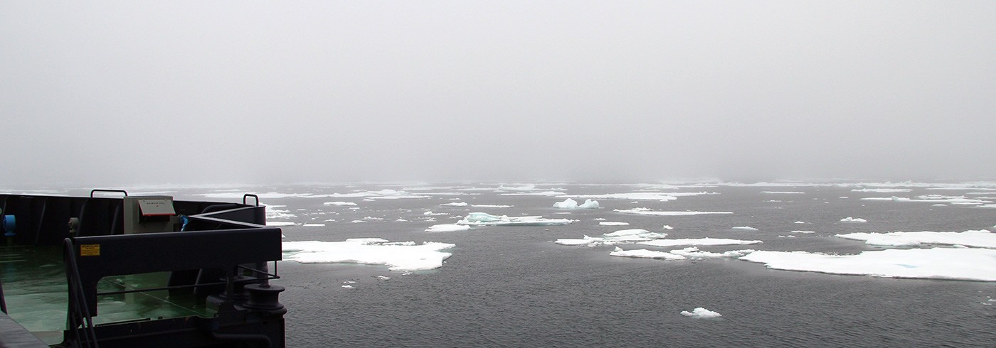
Frej and Oden. Photo: Hanna Hagelin
The ice has a major bearing on how vessels in both the Bay of Bothnia and the Arctic choose to navigate during the season when the sea is covered by ice. Choosing to sail in areas of open water or thin ice makes it possible for vessels to save a great deal of fuel and avoid getting trapped on ice ridges. Radar satellite images offer one means used by vessels to calculate where the ice will open up into lanes and where the ice will be compressed to form ice ridges.
Radar satellites can capture images of the sea ice even when the sky is covered with clouds or it is dark, which is particularly important during wintertime when the sun never rises in the most northerly latitudes. These images are used to provide an overview of where the sea ice is located, how it is moving, and how it is changing.
A broad range of cameras and sensors was used during the expedition to gather information about the ice concentration (i.e., how much of the sea surface was covered with sea ice) and ice drift around the icebreakers. The ice drift is normally calculated by comparing two satellite images and looking at how the sea ice has moved and changed between the two time points when the images were acquired. Data gathered during OATRC (Oden Arctic Technology Research Cruise) 2015 will be used to check how well our methods for estimating ice drift and ice concentration from satellite data are working.
During the expedition we also assessed how the icebreaker crews are using satellite data at present and what information they would like to obtain from satellite data in the future. In general, the crews feel that satellite images and maps showing ice concentrations are extremely useful, and they would be happy to have access to more such images. It is important that the maps be no more than one to two days old, as the ice continually moves and never remains the same. However, once the ice concentration has been observed, the crews prefer satellite images to pre-interpreted satellite data.