Neoproterozoic mountain building in southern and central Svalbard
31 July 2012 - 7 September 2012
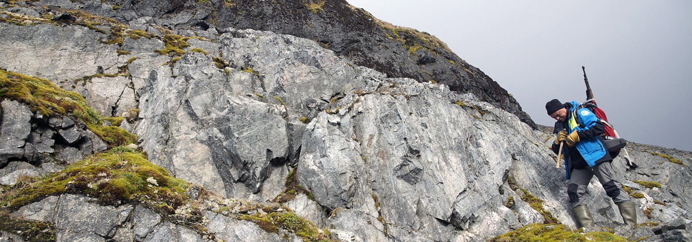
Grab-and-run sampling while the helicopter is waiting at Cuvervillefjellet, Sørkapp Land. Photo: Henning Lorenz
The Neoproterozoic Orogeny in the Arctic (NOA-Svalbard) project investigates rocks affected by or originated during Neoproterozoic (1,000–542 million years ago) mountain building episodes and how they were affected by later tectonic episodes. The results will help us to understand the composition of the basement below the vast Arctic shelves and the development of their sedimentary cover, and contribute to our knowledge about the tectonic history of the Arctic.
Results from 2011 (westernmost Nordenskiöld Land) indicated that the zone of Paleozoic (Caledonian) very high-grade metamorphic rocks known from southern Spitsbergen has a potential continuation northwards, implying also a potential connection between the Neoproterozoic (deformed) successions along the west coast of Spitsbergen. Thus, priorities for the main NOA-Svalbard expedition in 2012 were revised and the field party visited, first, two places on Prins Karls Forland – Richardlaguna and Selvågen – before relocating to Sommerfeldtbukta in southernmost Spitsbergen (figure).

For comparison of geological units between the areas, samples were taken for petrological studies (metamorphic rocks) and provenance analysis (sedimentary rocks). While we were taking shelter from high winds at Hyttevika, southwestern Wedel Jarlsberg Land, our inflatable boat was damaged beyond repair in a heavy storm. Thus, the remaining time of the expedition was used for complementary sampling in areas typical of the Proterozoic stratigraphy of western Spitsbergen. Two inland localities, Cuvervillefjellet and Gothankammen, were scheduled for a visit on the helicopter flight back to Longyearbyen. Only the first one could be reached, due to bad weather.
Despite mishaps with weather and equipment, NOA-Svalbard 2012 was successful beyond expectation. Metadata for samples collected during NOA-Svalbard 2012 are registered with an International GeoSample Number (IGSN) at the System for Earth Sample Registration (SESAR; www.geosamples.org, cruise: NOA-Svalbard). Information about publications will be linked to the sample metadata.

The first geologists on these rocks. Jarek Majka and Karolina Kośmińska study outcrops recently uncovered by the retreating glaciers. Photo: Henning Lorenz

Karolina Gołuchowska, Maciej Manecki, and Karolina Kośmińska traverse southernmost Torellbreen, Wedel Jarlsberg Land, from Skoddebukta to Solheimfjellet. Photo: Henning Lorenz

A hot cup of tea after fighting the storm. Maciej Manecki at Hyttevika, Wedel Jarlsberg Land. Photo: Henning Lorenz