Finding Mars on Svalbard
29 July 2013 - 16 August 2013
Our first encounter with a polar bear at the French field station Corbel. Photo: Andreas Johnsson
Martian geomorphological records give clues to climate changes on Mars within the last few million years. What can we learn about these changes from terrestrial analogues?
Many mid- and high-latitude landforms on Mars are interpreted as periglacial in origin. If this is correct, they reflect climate conditions that favour the existence of permafrost and associated dynamics. The study of these landforms would therefore allow conclusions about the climate history of Mars. However, dedicated studies of terrestrial analogues are required to obtain reference information needed to interpret remote sensing data about Mars.

The ice-cored moraine of the Kongsveg glacier was left behind when the glacier retreated. It is now undergoing rapid degradation due to core melting. Photo: Andreas Johnsson
The areas of interest for this project are the Brøgger Peninsula and the nearby Kongsfjorden. These two areas have a range of landforms with close morphological analogues on Mars, such as patterned ground, solifluction lobes, glacial moraines, and gullies.
In previous years, the team obtained very-high-resolution colour images and digital elevation models (DEM) of selected areas in Svalbard with features resembling the above-mentioned Martian surface features. The high-resolution imagery was obtained during a flight campaign in 2008 and it has the same resolution as satellite imagery of Mars, ~25 cm/pxl. The aerial camera used was an HRSC-AX, the airborne version of HRSC, which is on board the Mars Express spacecraft. To increase the spatial ground resolution even further, a kite camera was used. Simultaneous fieldwork provided ground truth for the flight campaign.
The first reports indicate that Svalbard is an instructive environment that helps us better understand the interplay of processes that shaped the Martian surface. Morphological comparisons between Svalbard and Mars have made it possible to interpret landforms on Mars more firmly.

The use of a kite camera increased our spatial ground resolution to less than a centimetre per pixel. Photo: Andreas Johnsson

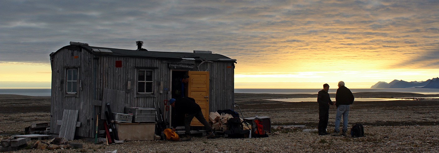
Evenings sometimes gave us spectacular light shows. Photo: Andreas Johnsson