The De Long Islands and Arctic tectonics
26 August 2013 - 19 September 2013
Siltstones (dark) underlying a large mafic sill (grey). Photo: Christian Tegner
Despite over 50 years of exploration into the nature and origin of first-order features in the Arctic region, such as when and how the Arctic Ocean itself formed, consensus remains illusive. Understanding the tectonic evolution of the Arctic region and how this ocean basin formed has important implications for many Arctic disciplines, such as natural resource management and ocean circulation.
Piercing points are unique geological features that provide the means to constrain tectonic reconstructions. The De Long Archipelago in the Russian Arctic may represent a piercing point for Arctic reconstructions, because the volcaniclastic rocks of Henrietta and Jeanetta islands are apparently unique. In addition, the younger basalts of Bennett Island may represent a second piercing point of a different age.

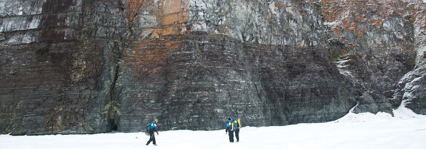
Basalt flows make up the upper cliffs of the island. Photo: Christian Tegner
With respect to piercing points and Arctic reconstructions, we do not know whether the De Long Islands should be considered part of the Arctic Alaska–Chukotka terrane (AACT), as the AACT’s boundaries are poorly defined in the region of the De Long Islands (figure a). Depending on the age of rocks from Henrietta and Jeannette islands and whether they belong to the AACT, these islands may have moved from an original position near North America (figure b). In addition, the age of these rocks will help us determine whether the Arctic orogens (i.e., mountain-building events such as the Caledonide, Uralide, and Timanide orogens) continue beyond the Lomonosov Ridge (figure b).

Figure a: Tectonic view of the Arctic c. 55 million years ago. Note that the continuations of the orogens beyond the Lomonosov Ridge are not known.
Figure b: An Arctic reconstruction c. 130 Ma showing the Henrietta and Jeannette islands (HJ) as a piercing point and part of the Arctic Alaska–Chukotka terrane (AACT). In this reconstruction, HJ is shown adjacent to North America. The broad white line in figure b represents the most likely initial position of Henrietta and Jeannette islands. After Pease (2011)
After flying to Tiksi on commercial flights, we boarded the Russian ship Mikhail Somov to reach the De Long Islands. We flew by helicopter between ship and land each day. The De Long Archipelago consists of the Bennett, Henrietta, Jeannette, Zhokhov, and Vilkitsky islands. We visited all of them, but focused on the geology of the first three for our mapping and sampling programme. Once on shore, we worked on foot, recording data and collecting samples as we hiked. Remarkably, this was the first geological expedition to Jeannette Island since 1933, so the application of modern geochronological and geochemical techniques to these samples will be truly ground breaking and will help determine the age and tectonic settings of these islands.

The smallest island of the De Long Archipelago; note the volcaniclastic sediment. Photo: Victoria Pease
Samples were received in January 2014 and sample processing began in February. In the coming year, our collection will be used to evaluate the age and provenance of the sediments, as well as the age and petrogenesis of the volcanic rocks. This information will determine whether the rocks of the different islands are the same age and whether they share a common tectonic history. If possible, we will establish links to other Arctic locations, such as Svalbard and Franz Josef Land. We will ultimately use our analytical results to determine whether the De Long Islands can provide a piercing point for testing Arctic tectonic reconstructions. If so, we will try to determine whether these islands are related to the M’Clintockian, Caledonian, and Ellesmerian Arctic orogenic events.