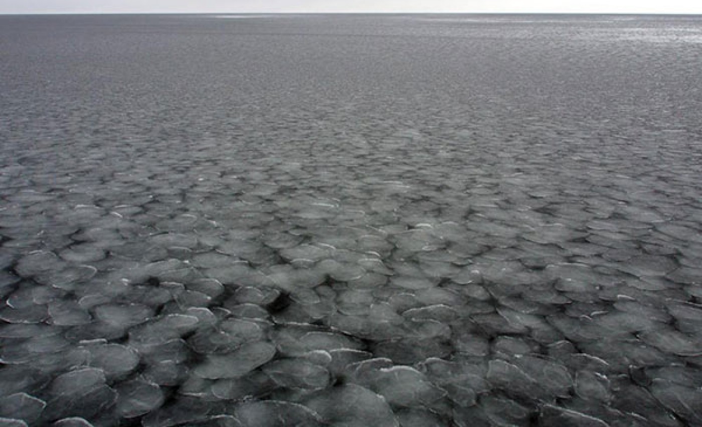
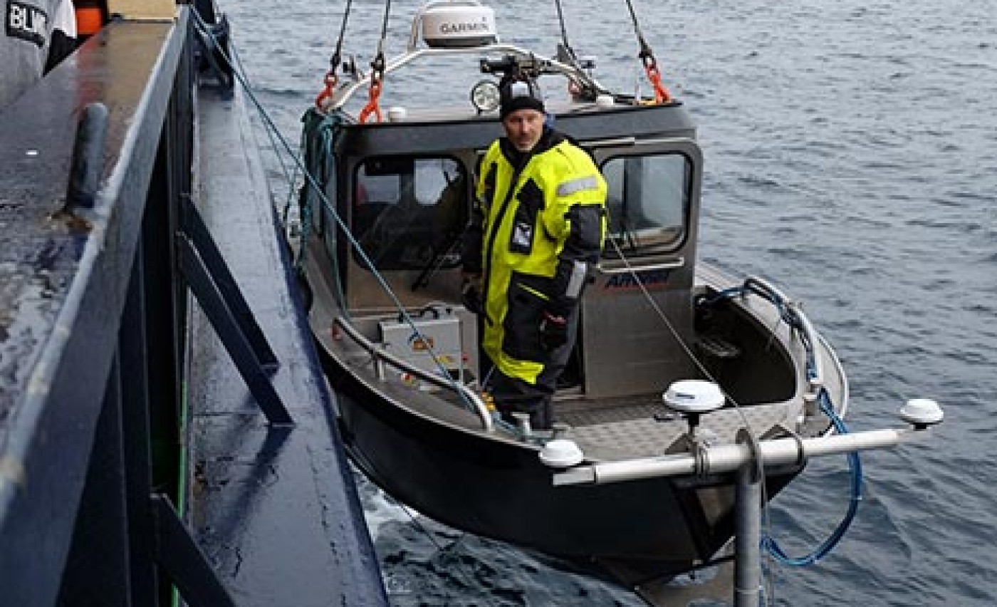
Short movie from the Petermann 2015 expedition showing how Seafloor mapping was done.
Movie: Seafloor mapping during Petermann 2015
29 December 2015 | Ida Kinner, Martin Jakobsson
Short movie from the Petermann 2015 expedition showing how Seafloor mapping was done.
Onboard the Oden we have the RV Skidbladner, a 6.4 m long aluminum boat equipped with a bow mounted high-resolution multibeam echo sounder and sub-bottom profiler.
An ice shelf is a floating glacier. Most ice shelves are formed as extensions of one or several ice streams that drain glaciers and large ice sheets by transporting ice to the ocean.
After passing the sea ice clogged passage at the southern end of Nares Strait, the transit to Petermann Fjord went quite fast.
After leaving Thule Air Base we had a smooth ride up to Smith Sound in Nares Strait where sea ice clogged the entire passage northward. This happened somewhere around 78°30’N.
After two nights in Kangerlussuaq I think we know the town. But we certainly do not know the amazing surrounding nature!
All of the scientific crew that will take part in the Petermann Glacier 2015 expedition will travel to Greenland tomorrow in order to meet up with Oden in Thule.