Taymyr quaternary geology – The glaciers did not always come from the Kara Sea
20 July 2002 - 29 August 2002
On the coastal foreland north of the Gusinaya River a 150 m high bedrock hill shows a distinct “stoss-and-lee” morphology, indicating an ice movement from the inland (right) towards the sea. Photo: Christian Hjort
Scientific background
Since 1996 geologists from Lund University have been working on the Taymyr Peninsula in arctic Siberia in cooperation with Russian, Danish and German colleagues, to unravel the glacial history of this vast area. Our work has covered the northern and central parts of Taymyr, from the Taymyr Lake basin northwards over the Byrranga Mountains, across the Trautfetter River and the Shrenk River basins and the coastal hills, to the northwest coast of the peninsula. The northernmost part of Taymyr, the Chelyuskin Peninsula, has also been covered.
The general picture of glaciation derived from these studies is one of successive inundations of the Taymyr Peninsula from the northwest, by ice sheets emanating from the Kara Sea continental shelf. This was, however, no news, since that pattern had been described in several earlier Russian works, e.g. by Grosswald (1980, and many later papers), Kind and Leonov (1982) and Isayeva (1984). Our input here has been detailed studies of the geomorphology, sedimentology and stratigraphy of the glacial deposits and landforms left by these ice-sheets, and their absolute dating. One conclusion has been that the most extensive glaciation which affected this area probably took place during the Saale glaciation, some 150,000 years ago. Another important conclusion has been that during the latest (Weichselian) ice age the maximum glaciation on Taymyr took place at the very beginning, approximately 100,000–80,000 years ago. At that early time the distinct cooling had started, but the atmospheric and oceanographic circulation still seems to have retained much of its interglacial character, bringing enough precipitation for extensive glaciation far to the east. However, due to increasing continentality with lack of precipitation, caused by the gradual build up of large ice sheets to the west, like in Scandinavia and the Baltic Basin, very little ice formed as far east as Taymyr during the so called Last Glacial Maximum around 20,000 years ago. On the other hand that was the time when Scandinavia, much closer to the Atlantic source of precipitation, experienced its Weichselian maximum glaciation, and when the ice from there reached as far south as present day Berlin.
These findings on Taymyr agree with the results from other studies recently carried out in northern Eurasia, and like our work coordinated under the umbrellas of the EU’s “Eurasian Ice Sheets” project and the European Science Foundation’s “Quaternary Environment of the Eurasian North” (QUEEN) project. Together these new results, which were preliminarily summarized by Svendsen et al. (1999), and which are described in detail in a Global and Planetary Change special issue (vol 31, 2001), change the glacial history paradigm for the Eurasian north. This vast region was earlier believed to have been covered by extensive ice-sheets during the Last Glacial Maximum, covering the continental shelves and reaching far inland – but the new geological ground-truth based concept is that there was comparatively very little ice here at that time! This new glaciation scenario should, for example, be of considerable importance for climate modelling, as many of the modellers have used the earlier Eurasian maximum glaciation concept as input when modelling the global Last Glacial Maximum situation, the cold end of the climate scale.
The aim of the 2002 expedition
Although the geomorphology of the glacial deposits studied by us, the glaciotectonic ice-movement information collected and the distribution and known origin of glacially transported boulders point to a dominating ice transport from the Kara Sea shelf, some uncertainties still remain. If it gets generally colder in an area and the “glaciation limit” starts sinking towards sealevel, then glaciation ought first to affect the higher ground, before ice is formed on the gradually emerging continental shelves. The latter get dry because so much ice/water becomes bound on land during periods of extensive global glaciation that the sea-level sinks. However no convincing traces of any large-scale inland based glaciation had so far been found, neither by us nor by our Russian predecessors, neither in the Byrranga Mountains on central Taymyr, nor in the coastal hills along the peninsula’s northwest coast.
The main aim of the summer expedition 2002 was to approach and hopefully illuminate this problem through work along the Kara Sea coast in those parts of the coastal hills which we believe have been outside the latest (Last Glacial Maximum) Kara Sea ice advance onto Taymyr. We would there look for traces of local glaciation emanating from these hills and, if we found anything such, study its geographical, stratigraphical and chronological relationship with the ice sheets moving inland from the Kara Sea shelf.

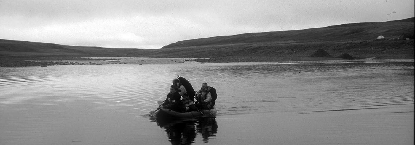
Across the Gusinaya River, en route for the day’s work. Photo: Christian Hjort
Fieldwork and preliminary results
Work was carried out from two camps near the northwest coast of Taymyr, reached by helicopter from Khatanga. The first camp (20–29 July) was on the small Nizmennaya River, at 75°40’N, 92°45’E, approximately 12 km inside the Kara Sea coast south of the entrance to Middendorf Bay. The second camp (29 July–12 August) was at the junction between the Novaya- and Gusinaya Rivers (75°01’N, 88°10’E), approximately 15 km east of the Mikhaylova Peninsula.
The Nizmennaya River basin
The work south of Middendorf Bay indicated that a long time had passed since any ice covered this area. Judging from a comparison with the much fresher geomorphology of those areas to the north, which we know were covered with ice during the Last Glacial Maximum, this landscape, with its very weathered rocks and almost no remaining glacial morphology, should date from an earlier glaciation. According to the chronology known from areas further inland this probably means that at least some 50,000 years have passed since last time the Nizmennaya Basin was ice covered. Nonetheless, several signs of former glaciation were still there, such as weathered rocks with faintly visible traces of glacial erosion, showing an ice movement from the Kara Sea and perhaps also from the inland. The area is also to a large extent covered by a sandy-silty till containing lots of glacially striated rocks, and many large glacially transported boulders dot the landscape. Near the coast the Nizmennaya River has cut into an approximately 5 m thick sediment pile of fluvial, perhaps also glaciolacustrine, sediments. Below lie marine shell-bearing sediments, on top the above-mentioned glacially transported boulders, followed by a distinct organic soil horizon covered by eolian sand.
Thus it seems that along the present Nizmennaya River we have had (1) at least one early glaciation eroding the rocks and depositing part of the widespread till, followed after some unknown time by (2) a marine inundation of the area, and thereafter by (3) fluvial and perhaps also glaciolacustrine deposition. Then (4) the ice came again, perhaps initially cold-based and not dislocating the older sediments very much, but depositing many of the boulders visible everywhere in the landscape. As noted above, in this area the last glaciation in all probability pre-dated the Last Glacial Maximum. After it had melted away a distinct soil horizon was formed, under warmer interglacial or interstadial conditions, to be covered later by eolian sand containing only thin organic layers. This whole sequence of events should be possible to date with the samples brought home by us, using the C-14 (radiocarbon) and OSL (optically stimulated luminescence) methods.
The Gusinaya River basin
The glacially related geology here turned out to be both better developed and better preserved and thus easier to “read” than in the Nizmennaya area. At the bottom of the sequence were glacially eroded rock outcrops, sculptured by a glacier that had moved north-westwards from the inland hills along the river valley and had spread piedmont-like onto the coastal foreland. For example, it had “stoss-and-lee”-sculptured a 150 m high bedrock hill that lies isolated on the foreland (figure 1). An unknown time after the melting of this ice the river basin and adjacent areas started to fill in with sandy, probably glaciolacustrine, sediments up to 15 m thick. Towards the top of this pile, foreboding the next glaciation, appear drop-stones (stones dropped from floating ice; figure 3), and thereafter the area was overridden by a glacier which this time came from the Kara Sea, judging from the fabric of the 1–2 m thick boulder-rich silty till. When that ice melted the glacioisostatically (by the weight of the ice) depressed area was inundated by the sea, which reached 45 m higher than the present sea-level. Richly shell-bearing marine sediments were deposited and shorelines were eroded into the bedrock hills. This sequence should also be datable with the C-14 and OSL-samples collected, but already the extensively weathered and post-glacially eroded terrain indicates that, like in the Nizmennaya area, the here documented glacial and marine events took place well before the Last Glacial Maximum.
The earlier Russian literature has suggested that what is now called the North Taymyr ice-marginal zone (or, informally, “the Isayeva line”; see reviews by Alexanderson et al., 2001, 2002) should have its southern end on present day land at the Mikhaylova Peninsula, turning westwards there and disappearing under the sea. However, our work this summer along the Gusinaya River and in adjacent areas did not reveal any signs of such a distinct ice marginal zone here. We are instead inclined to think that a very marked bedrock fault which runs roughly like the suggested ice margin has, from air photos and satellite images, mistakenly been interpreted as being of glacial origin!

Glaciolacustrine sediments follow first glacially derived dropstones and threafter a silty till laid down by an ice sheet coming from the Kara Sea shelf, the last glaciation to affect the Gusinaya River area. Photo: Christian Hjort
Conclusions
The preliminary (before absolute datings) main conclusions from this summer’s field work are:
- The earliest documented glaciation in the Gusinaya area did indeed come from the inland hills, following the river valley and expanding over the coastal foreland.
- But the last glaciation affecting the Gusinaya basin, and probably also the Nizmennaya area approx. 150 km to the northeast, came from the Kara Sea shelf.
- That glaciation was followed by a marine inundation reaching 45 m higher than the present sea-level.
- There seem to be no distinct ice-marginal features in these areas, and the southernmost part of the North Taymyr ice-marginal zone in the Gusinaya River-Cape Mikhaylova area, mainly postulated from satellite images and air-photos, could not be shown to exist!