Rephotography – a dialogue with history in an Arctic landscape
11 July 2012 - 1 August 2012
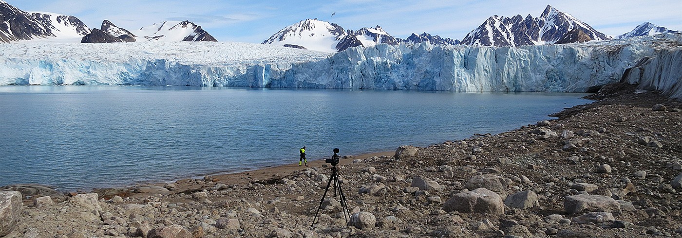
Midnight sun, Gullmarbreen, Smeerenburgfjorden, July 2012. Photo: Tyrone Martinsson
How can an environmentally oriented, photographic humanistic perspective, applied in interdisciplinary cooperation, give visual shape to events that occur in north-western Spitsbergen?
Visual materials directly and concretely communicate change processes over time. Compared with the working methods used in and results from other scientific fields, photography-based research can offer a clearer understanding and better communication of changes relating to global warming, overexploitation of natural resources, and environmental impacts, all problems necessitating comprehensive political and economic decisions that transcend national borders.
The project focused on the north-west corner of Svalbard and its long-documented history from 1596 to the present. The methodology involved rephotography and comparative studies of the landscape.
The technical equipment consisted of an iPad with image archives, a Canon 5D Mark II camera with fixed 35 mm optics and a 70–300 mm zoom lens as basic equipment. A Canon G10 and a Canon S100 camera with GPS were used for documentation.
The result is a photographic archive in which a holistic representation of the changes over time takes shape. The next phase will involve compiling the photographic materials to produce a visual account in book, exhibit, and research report forms.

View east and south of campsite in Danskeneset 2012 with inset picture, probably by Gerard De Geer 1901. Photo: Tyrone Martinsson