Where the northernmost world ends – fieldwork on Johannes V. Jensen Land, northern Greenland, to resolve its glacial and palaeoenvironmental history – part 2
24 July 2007 - 28 August 2007
Twin Otter in for landing. Photo: Per Möller.
Background
In recent years the importance of the Arctic region for global climate change has often been stressed both in the scientific community and the media. It has been suggested that a cold arctic region with an ice covered Arctic Ocean is crucial for a north–south climate gradient sufficiently steep to drive the meridional energy exchange that is an integral part of the Earth’s climate today, and that furthermore, rapid greenhouse warming threatens to destroy this phenomenon. However, the case for rapid change rests to a large extent on satellite observations and – in the case of rapidly diminishing sea ice – from measurements made by nuclear submarines over the last 30 years. There is therefore a need for an assessment of the long-term “natural” variability of such complex and powerful agents as sea ice and glaciation along the Arctic Ocean coast.

In the middle of a jökellopp. Evacuation of the second gravel bar that was totally flooded within four hours! Photo: Henriette Linge
Greenland’s north coast constitutes the northernmost area of land in the world, and one of the few remaining coastlines that still faces permanent sea-ice cover. Owing to its inaccessibility it is also among the world’s least explored regions. The LongTerm project has been launched in order to perform a broad-spectred investigation of the interplay between climate, sea-ice cover, and glaciation over a time scale from the Holocene and back through the last glacial cycle, with the aim of contributing to a long-term record of variability and sensitivity of this extreme environment. In the overall project, the variation in conditions for Greenland’s earliest cultures is also taken into consideration, as well as the evolution of the fauna. However, since there was no Swedish participation in those aspects of the project they are not covered in this particular report, which instead concentrates on the geological programme.
LongTerm has been initiated by Svend Funder and Kurt Kjær from the Geological Museum in Copenhagen, Denmark, who also are the principal project leaders. Due to the longstanding cooperation between the Geological Museum and the Department of Geology at Copenhagen University, and the Department of Geology at Lund University, a group of Swedish glacial geologists was invited to take part in the project’s work in 2006 and 2007, which also forms a part of the research programme SWEDARCTIC 2007. The LongTerm project is a subproject within the umbrella project APEX (Arctic Palaeoclimate and its EXtremes), which has been named a “lead project” for IPY (International Polar Year 2007–2009). A number of other APEX projects have been established during 2007 along the Eurasian and Greenland Arctic Ocean coastlines (see for example Jakobsson), and are planned to continue in 2008 and 2009.

Camp along the Sifs River on a nice day. Photo: Per Möller.
Aim and scope
The target area for fieldwork was the coastal plain along the Arctic Ocean, its tributary valleys and valley glaciers (figure 1). Featuring altitudes below 100 m and a width of up to 20 km this coastal plain fringes the Arctic Ocean for roughly 100 km in Johannes V. Jensen Land. Unique to Greenland, the plain probably originated as an ancient marine abrasion terrace. It is covered by a continuous layer of Quaternary sediment, and reconnaissance fieldwork in the snow-melt season has indicated that this sediment provides a record of glacial and marine events as well as sea level change that date back more than 40,000 years (Funder and Hjort 1980, Funder and Larsen 1982, Dawes 1986). The aim of the LongTerm project is to study sediments, landforms and lakes – as well as remains of former human habitation – on the coastal plain and along valleys leading into the alpine mountains to the south, supplemented with studies on processes along present glaciers. More specifically, the project aims to:
- Establish a glaciation record for northernmost Greenland, and to investigate the dynamic interplay between alpine and ice sheet glaciations and their sensitivity to changes in sea ice cover.
This will be achieved by surveying present valley glaciers and sedimentological processes along their margins, combined with installation of data loggers. Further, traditional field mapping of landforms and logging of sediment sections, combined with analyses of glacial geomorphological elements in satellite imagery and aerial photographs will provide a record of past glacier behaviour.
- Reconstruct the sea ice and sea level history of northernmost Greenland.
This will be achieved by studies of raised marine sediments on the coastal plain and wave to non-wave generated beaches. Important information on these aspects is also provided by dating driftwood as this gives an indication of periods of open water along the coasts and of partially open water along the passage in the Arctic Ocean.
- Establish a precise chronology of the environmental change.
Precise dating is a prerequisite for all types of records. Here we use the same methods that we developed during our QUEEN project in northern Russia for dating similar records: AMS 14C-dating of organic remains, OSL (Optically Stimulated Luminescence) datings of sediments, and exposure datings of rock and boulder surfaces by 10Be and possibly other cosmogenic nuclides.
The fieldwork
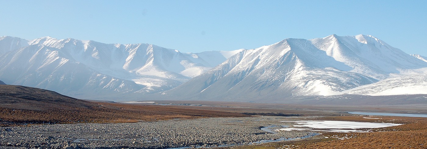
The LongTerm expedition in 2007 was part of a field campaign set up by the Danish Polar Centre with a logistic platform based on Station Nord (figure 1B). The LongTerm field party took the regular flight on 24 July from Copenhagen to Longyearbyen, Svalbard, and were subsequently flown on the same and following day in two groups across the Greenland Sea to Station Nord by an Icelandic-chartered Twin Otter. The original plan included helicopter transports to base camps. However, as no landing permit was given for a chartered Russian Antonov aircraft, planned to carry the helicopter to Station Nord, this option had to be eliminated at a late stage of planning. We were thus totally dependent on Twin Otter transport, which meant rethinking possible landing/camp sites as compared to the original expedition plan. The expedition members were split up in three regional teams, of which team 2 with the Swedish participants aimed towards the northernmost Johannes V. Jensen Land coast between Kap Morris Jessup and Constable Bugt (figure 1B).

Overview map of Greenland (A). Coloured box indicates insert map (B), showing the investigation areas for team 2 on the northern coast of Johannes V. Jensen
Land.
Beautiful weather awaited us at Station Nord and team 2 was directly deployed in one Twin Otter flight to the first field camp at Kap Morris Jessup (picture 1). When turning to approach the tiny landing strip we realized that we were not alone; a polar bear with cub were taking a stroll along the beach! We set up camp at 83°39.305’N, 33°23.949’W and hearing the Twin Otter disappear behind the mountains in the south, we realized we were the absolutely northernmost men and women with solid ground beneath our feet!
A week passed with the most fantastic Arctic weather imaginable; just blue skies and a slightly chilly wind from the permanent ice cover in the north, holding the temperature at a maximum of +4°C. However, just climbing some 50 m up on the valley slopes improved the temperature considerably. Geologically speaking, Kap Moris Jessup was a disappointment; the few sections available were soon finished and we decided to relocate to the Sifs Valley–Constable Bugt area at the earliest possible occasion. We had worked in that particular area during the 2006 field season, but unsolved scientific questions still remained in regard of the interaction between large shelf-based ice in the north and valley glacier expansions from the south.
At three o’clock in the morning on 1 August we received a message: “The Twin Otter is on its way”. All our equipment was hurriedly packed and the tents were taken down in the bitter cold night (-3°C, but the arctic summer sun shone as usual in the blue sky). We were more or less ready when the Twin Otter broke through the low fog lying at the shoreline. At eight o’clock in the morning the new camp was ready in the Sifs Valley at 83°34.36’N, 32°1.55’W (figure 1B) in beautiful morning sun. The camp was situated roughly 5 km from the coast behind a prominent end moraine ridge, protecting us somewhat from coastal fog and chilly winds. The wildlife in Sifs Valley is plentiful, like an Arctic “Garden of Eden”. Muskoxen are abundant, from small herds with cows and calves, to the lonely bull, sometimes being a bit aggressive (but usually just “showing-off”). Geese arrived in flocks of fifty to hundreds and arctic hare were abundant and totally unafraid (picture 4).

Who is watching who? Close encounter with arctic hares in Sifs Valley. Photo: Nikolaj K. Larsen
What was planned to be a week or so of hectic fieldwork before a new relocation, turned out to be a prolonged stay until the end of the expedition! The beautiful weather just continued, peaking around 7 August with strong warm winds from the south, a föhn wind raising the temperature to an astonishing +22°C two afternoons in a row! Two days later we started to see the result of the warm weather. At five o’clock in the morning we woke up with water in our tents. The camp was situated only about 70 cm above Sifs River, and we could see the water quickly rising, some 3–4 cm per hour! The situation was such that 20 km south of our camp the Sifs Glacier comes out from an ice field, totally blocking the valley and damming a lake at 217 m a.s.l. What we first thought was just an enhanced melting due to the föhn wind turned out to be much more serious. The upper lake was actually overflowing and had started to cut a large canyon through the glacier snout in which we saw water cascading down into our valley; we slowly realized that we were in the middle of a so called “jökellopp”! The next few days were a race against time and rising water: three times we relocated the camp to suitably higher positions and three days later we saw the last gravel bar disappear beneath the water that was by now 2.5 m higher than before (picture 5). We carried our +1000 kg camp equipment up the side of the valley 800 m from our first location. Most problematic was that the landing strip for the Twin Otter was submerged, and we didn’t know for how long! Food supplies also started to dwindle, and as planned re-supplying was not possible in the ordinary manner, we were “food bombed” on 12 August, when a plane dropped canisters at low altitude in the river. When opened, some canisters turned out to be a nice mixture of rice, muesli and mayonnaise! Otherwise the mostly beautiful summer weather continued and most of our planned geologic fieldwork proceeded in an excellent fashion.

Per Möller logging excavated glaciolacustrine sediments in Sifs Valley. Photo: Nicolaj K. Larsen.
On 15 August there was a dramatic weather shift, and from this point on the weather was characterized by the passage of a long row of low pressure systems featuring strong winds, rain and snow, with the occasional nice day in between. On such nice days we had majestic snow-covered mountains around us and also snow far down in the valley, accumulated in the lee of large boulders (picture 6). Team 1 was actually worse off; five days of wind not below 25 m/s and the tents covered in one metre of snow! On 25 August our kitchen tent finally gave in and the toilet blew away, making camp life less comfortable, to say the least. However, the “rescue operation” had then started, which involved the Twin Otter flying up from Iceland to Station Nord, trying to get in between the low-pressure passages in order to retrieve the three teams from field. This turned out to be a slow operation. After two more storms and one failed attempt – just hearing the Twin Otter high above us in the clouds – we were finally picked up on 28 August as the last team. Fortunately the river had abated the preceding few days and the landing strip was useable again. However, when approaching Station Nord the clouds were down to ground level again, and after one landing attempt the plane returned north, heading for Kap Moltke to wait for better weather. A small weather window turned up the next day, and we just managed to slip in below low clouds. Station Nord was like heaven, with hot showers and cold beer after almost six weeks in the field! After three more days stuck at Station Nord due to the bad weather, we finally left in pleasant weather, flying along the east Greenland coast down to Constable Punt and then over the Greenland Sea to Akureyri on Iceland. We landed at Kastrup airport 1 September, just in time to start lecturing on glacial geology the following day, which was the first day of the autumn term!

White-clad mountains after an August storm in Sifs Valley. Photo: Per Möller.
Some scientific results
Even though the expedition was not able to follow the initial plans due to the described difficulties, we were actually able to retrieve some fantastic field data that will be published in due course. From Sifs Valley we have firm proof of a shelf glaciation, meaning a large ice sheet moving along the coast from the west and penetrating into the valleys leading up to the alpine mountains in the south. At deglaciation a marine environment – i.e. the sea – penetrated into these valleys, but due to land uplift these gradually turned into dry land. However – as opposed to the case today – somewhat later in the early Holocene the sea surface was not covered by permanent sea ice, as indicated from the occurrence of high-energy beach ridges. What particularly astonished us already during the 2006 field season, and for which we gathered more proof in 2007, was the indication of not just one but possibly two valley glacier advances out of the Sifs Valley (and other nearby valleys) towards the coast in the early to middle Holocene. In this case it is not cold climate that governs ice advances, but moisture! The moisture source having been provided by an open Arctic basin that later was closed over. However, with global warming this sea-ice cover is now rapidly shrinking over the Arctic basin. So maybe we will not have melting glaciers along the north Greenland coast in the future, but instead glacier advances?