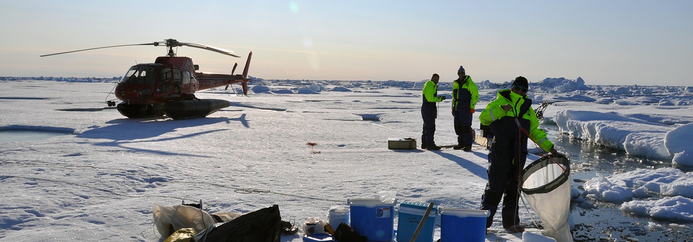
Bathymetric data acquisition
31 July 2012 - 14 September 2012
Bathymetric map (IBCAO 3.0) showing the LOMROG III ship track (orange) and fieldwork north of Greenland as part of the Continental Shelf Project of the Kingdom of Denmark from 2006 to 2012.
Yellow line – LORITA seismic refraction lines (2006), green line – LOMROG I ship track (2007), red line – LOMROG II ship track (2009), light blue lines – bathymetric profiles acquired by helicopter in spring 2009 and during LOMROG II and III (2009 and 2012), yellow lines – seismic lines acquired during LOMROG I and II (2007 and 2009), red crosses – dredging sites, and white stippled lines – unofficial median lines.
Oden is equipped with a multibeam echo sounder and a chirp sonar (sub-bottom profiler). During the LOMROG III cruise, Oden travelled a total of 3,672 nautical miles. Multibeam bathymetric as well as sub-bottom profiler data were recorded continuously along the ship’s track.
The “pirouette method” was developed during the LOMROG I cruise. In this method, Oden would stop and spin 360° in isolated pools of open water while sweeping the seabed with the multibeam sounder. This method was also used during LOMROG III, though at critical locations Oden had to break a lead in the ice before a pirouette was possible.
The bathymetric data acquired during the LOMROG III cruise will be integrated into a new version of the International Bathymetric Chart of the Arctic Ocean.