Mapping of permafrost in northern Lapland using ground penetrating radar
20 March 2012 - 28 August 2010How does the extent of the permafrost affect groundwater flow paths at different times of the year?
The ground in the Arctic is largely frozen year round, so the groundwater can only flow through a limited portion of the ground. As the Arctic warms, some of the permafrost begins to thaw, enabling greater groundwater flows. This affects matters such as water flow in watercourses, nutrient transport through the landscape, and the extents of lakes and wetlands in the permafrost areas.
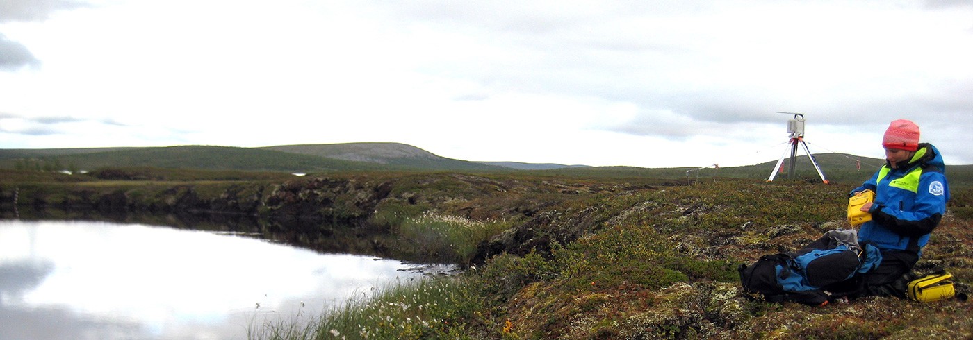
Our study area is Tavvavuoma in northern Lapland, one of the regions in Sweden with the most permafrost outside of the mountain range. Here even a fairly small warming can cause the permafrost to thaw, as the temperature of the permafrost is near 0 °C.
We used ground penetrating radar to measure the depth to the permafrost in fens and peat plateaus. Our aim is to map where in the ground groundwater flows can occur both in winter, when most of the ground is frozen up to the surface, and in summer, when the uppermost portion of the ground is thawed. The permafrost surface is visible in a radar image because radar signals are efficiently reflected by ice in the ground.


