Surface water biogeochemistry and air–sea CO2 exchange in the Canadian-Arctic shelf seas, the Bering Sea and the Chukchi Sea
5 July 2005 - 19 August 2005
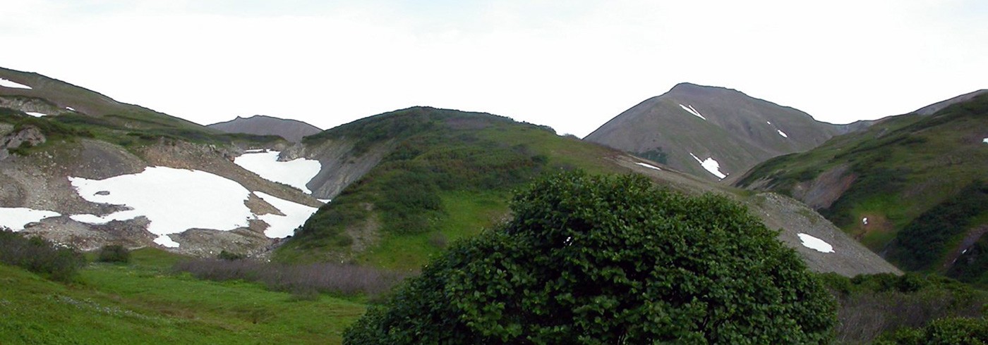
Instrumental setup for the automated pCO2 measurements (Kimoto Electric Co., LTD) used onboard IB Oden. Photo: Agneta Fransson.
Aim
The shallow shelves in the Arctic Ocean, in particular the Bering and Chukchi Seas, are considered to be important productive areas in the Arctic (see e.g. Cota et al. 1996). Biological production is important for the drawdown of atmospheric carbon dioxide (CO2) in the ocean, where CO2 is consumed during photosynthetic production of organic matter (soft tissue) by phytoplankton. Water from the North Pacific Ocean passes through the Bering Sea and enters the Arctic Ocean through the Bering Strait (Coachman and Aagaard 1988), contributing to the supply of nutrients to the shelf seas. In combination with nutrient availability, strong surface water stratification caused by the melting of sea ice in spring and river runoff contributes to the enhanced biological drawdown of atmospheric CO2. In parts the Arctic Ocean is covered with sea ice, producing a protecting cap for CO2 gas exchange between water and atmosphere.
The main goal of this project was to study the effect of sea ice, river runoff, biological production and inflow of Pacific water through the Bering Strait on the CO2 content in the surface water of the Canadian shelf seas and the Chukchi Sea, and to estimate air–sea CO2 fluxes regarding both open water and ice covered areas. The following issues were addressed in this project during the expedition Beringia 2005:
- Study of the inorganic carbon cycle in the surface water and its relation to physical conditions (e.g. inflow of Pacific water, seawater temperature, fronts and sea ice) along the shelves of the Canadian archipelago, in the Bering Strait and the Chukchi Sea.
- Estimation of the air–sea exchange of CO2 in the upper water column during the productive season, with regard to utilization of CO2 by phytoplankton in the areas above.
- Study of the biogeochemistry within and beneath the sea ice and evaluation of the role of sea ice in the air–sea CO2 flux estimates.
- Diurnal study of the variability in the biogeochemical cycle in the upper water layer.
Fieldwork
In the summer of 2005 (4th July to 19th August), continuous measurements of pCO2 and dissolved oxygen in the surface water were successfully carried out onboard the Swedish icebreaker Oden, leg 1 and 2. Additional parameters in the oceanic CO2 system, obtained from discrete hourly sampling from the seawater intake, were measured: total dissolved inorganic carbon (CT), total alkalinity (AT) and pH. The cruise track followed the Northwest Passage from Sweden, passing Cape Farwell (S. Greenland), to the Bering Strait. Continuous measurements were also performed in the Chukchi Sea passing the Wrangel Island and back to Barrow. Along the cruise track we encountered both open water and heavy sea-ice conditions. At 10 locations discrete sampling from the whole water column (from sea bottom to surface) was performed using a rosette with Niskin bottles and a CTD. Water samples for CT, AT, pH and dissolved oxygen were collected for analysis onboard.
The automated pCO2 instrument has been successfully used for automatic measurements in open water since 1995, and this is the first time it has been used for sea ice conditions. For the continuous pCO2 measurements, seawater was pumped with a flow rate of approx. 15 l min-1 into a CO2 equilibrator (tandem type combined with a static mixer type manufactured by Kimoto Electric Co., LTD [Kimoto and Harashima 1993, Harashima et al. 1997]), passing through a thermosalinograph (picture). The mole fraction of CO2 (xCO2) in dry air, expressed by part per million (ppm), was continuously measured every minute by a non-dispersive infrared detector (NDIR, LiCOR®, model 6262, Lincoln, USA). Four CO2 standard gases and zero gas (0, 250, 350, 450, 550 μatm) were used for calibration. pCO2 in air was alternately measured with the same instrument. Sea surface salinity and temperature were continuously measured. An oxygen sensor (Aanderaa) was used to measure dissolved oxygen continuously every min-ute. The oxygen values were compared to the values obtained from the discrete samples analysed with the Winkler method.
The methods for the additional CO2 system parameters measured onboard the ship:
- total dissolved inorganic carbon, CT : coulometric titration with photometric detection
- total alkalinity, AT : potentiometric titration with hydrochloric acid
- pH: diode-array spectrophotometer with m-cresol purpur indicator
- dissolved oxygen: Winkler titration with photometric detection
Water samples for the following chemical parameters were collected for analyses onshore:
- nitrate, phosphate and silicate
- bottle salinity.
Preliminary results
Using 1-minute readings of surface water pCO2 and oxygen, in addition to sea surface salinity and temperature (SST) as well as pCO2 in air, we gained insight into the magnitude of the zonal variability in these parameters along the cruise track (longitude from right to left in the figure). Preliminary data showed rapid changes in the pCO2 and oxygen values (figure to the right), likely related to physical fronts, river runoff and changing sea-ice conditions (figure left). Surface water pCO2 was generally below the atmospheric values for the entire route. However pCO2 was lowest and oxygen highest in the ice-covered areas (figure right), implying biological CO2 drawdown under the sea ice. Further interpretation of the data is in progress.

Left: Preliminary results of surface water salinity and temperature (SST) from Greenland to Bering Strait. Black line is surface water temperature and grey line is salinity. Negative SST corresponds to sea ice.
Right: Preliminary results of surface water pCO2 and dissolved oxygen from Greenland to Bering Strait. Black line is pCO2 in seawater, and grey line is dissolved oxygen. Black dotted line in figure illustrates pCO2 in air.