Saturday 15 July
Finally, the sun popped out and the Saturday turned into one of the best days of the entire expedition in terms of weather. We compensated for the two past days by working extra hard on the tasks that had previously been made difficult by the weather – which was pretty much all the tasks. We also got to bring out Tryggve the drone, and he delivered some beautiful overviews of the site. Our aim was to finish up all remaining documentation tasks before the end of the day, in order to have the last two days before departure available for our documentation tasks at other sites in the region. After 12 working hours on shore, we nearly managed to accomplish our goal, leaving only a few minor remaining tasks at the station site.

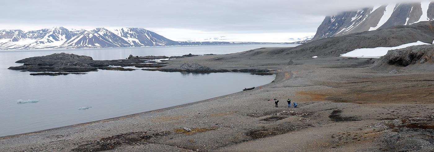
Researchers in action at the Sorgfjorden station. Photo: Dag Avango
Sunday 16 July
This entire day we devoted to the scientific infrastructures that the Swedish-Russian arc of meridian expedition built on the tundra extending from Sorgfjorden in the north and south along the Hinlopen strait – the baseline. This involved an extensive walk over a distance of 24 kilometers, carrying heavy equipment such as advanced GPS/GNSS measuring units, large heavy wooden tripods, a motorcycle battery, cameras, measuring tapes, guns and amo in addition to a fair amount of extra clothing. This was necessary, because the weather was again turning bad. Over the hours of walking across the tundra the bad weather turned worse, with a wind so strong that we could comfortably lean on it, coupled with heavy and horizontal rainfall. In this weather, we sat for an hour waiting for the measurements to finish at the mid-point of the base line, trying to stay warm by continuously walking around. We pushed the tempo on the way back and eventually returned to the shore line where the always-ready ship crew picked us up and brought us on board on the expedition ship.

Expedition team walking in gale force wind across Basissletta, the tundra where the arc of meridian expedition established its northern base line. Photo: Dag Avango
In the evening Milan and Gustav made a first calculation from the GPS units and compared with the measurements of the baseline which the arc of meridian expedition made in 1900: the difference was minimal (final results will be published later). We were all impressed by these results of course, but even more so from our new understanding of the gigantic working task which the arc of meridian expedition members accomplished over 100 years ago.