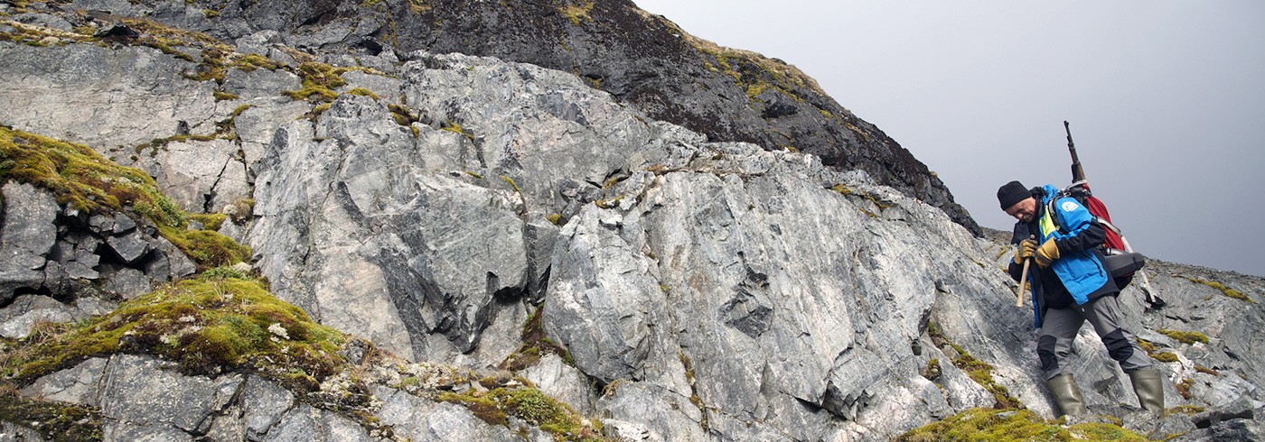
The weather wasn’t exciting this morning, but better than yesterday. We walked southwards towards Alasdairhornet where the rain caught us. The landscape was beautiful with the changes from rain clouds to sun spots and partly blue sky. The clouds were low and prohibited climbing of the unknown terrain – the 1:100000 scale maps available for Svalbard are not of much help here. Thus, we walked along the foot of the mountain to see the lowermost outcrops and observed the rock units above only in the scree. In both we observed lithologies which we think are similar to those we have seen in the north of the island, in the MacNairrabbane and Glenbegdalen units. These kind of observations have to been made with own eyes in the field. Published descriptions of earlier workers don’t help very much. Details are missing and the naming of the geological units is, as mentioned earlier, a big mess. No sign of the volcanics.

Alasdairhornet. Photo: Henning Lorenz
We then extended the day to a roundtrip around the mountains south of Selvågen to get a better impression of the geology of this area and got one of the most beautiful afternoons during this expedition in return. Not only that the rocks were interesting, also the scenery was amazing. Forlandsundet in deep blue, the glaciers behind in sunshine, mountain tops in fast moving clouds. This is Svalbard from one of its most beautiful sides.
Tomorrow M/S FARM will come to Selvågen to pick us up and move us to Hornsund from where we want to reach Sørkapp. We can conclude that much more work needs to be done on Prins Karls Forlandet, in particular in good weather conditions which allows access to the higher parts of the surrounding mountains. A major challenge is to sort out the stratigraphy and correlate it in detail with northern Prins Karls Forland and other parts of Spitsbergen. We only got a first impression which, however, is positive and very valuable.
Henning Lorenz, Uppsala universitet