It is a gray and foggy Monday, and we are sailing through Amundsen Sea on our way to Pine Island Bay. We had hoped to arrive there today and to start coring, but we got delayed due to the winds last night which prevented us from going at the speeds we had liked to. Indeed, last night was the darkest and windiest we had so far on this cruise. On several occasions during the 20.00–24.00 multibeam echo sounder watch I share with Björn Eriksson, we were quite happy that our chairs (on rolls!) were ’secured for sea’, that means, securely tied with a rope; otherwise we would have been rolling back and forth with them in concert with Oden’s motions!
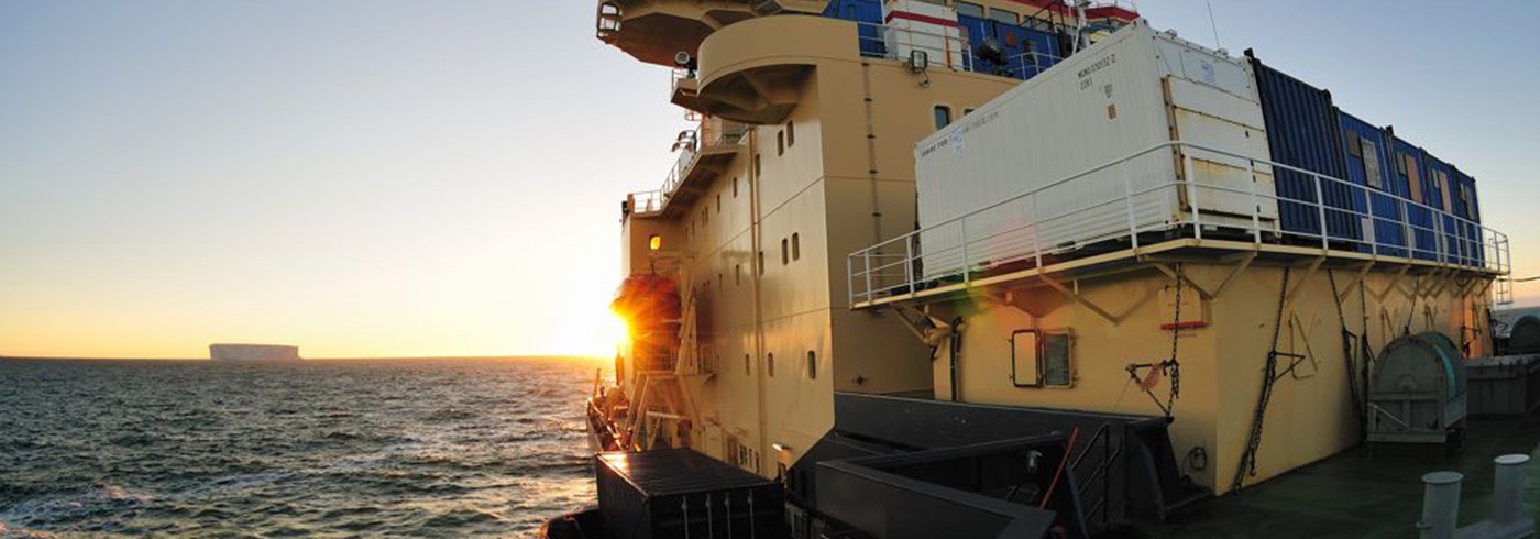
Our ’office’ corner is on Oden’s bridge, and looking up from our at least 5 computer monitors (labelled with clear instructions for their use such as ”this is NOT a touchscreen!” and ”No butterfingers!”) we enjoy the most spectacular views you can possibly get by looking out of an office window. The multibeam echo sounding is operated in a 24/7 mode – that is, 24 hours every day – and gives us images of the seafloor’s surface as we sail across it, no matter how deep the water is. So far, water depth has ranged from 400 meter in McMurdo Sound to more than 4 000 meters in Ross and Amundsen Sea.
We are taking turns watching the system: each member of our multibeam-team is 4 hours on watch, 8 hours off, 4 hours on watch and then 8 hours off again. During our shifts, we inspect the incoming raw data related not only to the seafloor’s surface (multibeam data), but also to its vertically layered structure (subbottom profile sonar data). The latter is determined from high resolution chirp sonar soundings which are also recorded and inspected in realtime, as well as stored for later postprocessing. The sound of the sonar can be heard in most places on Oden: it ’chirps’ every few seconds and is blending with the other sounds that Oden makes while ploughing through the sea. The only place I have not yet heard the chirp is Oden’s gym – howewer, the volume of the music we listened to while exercising might have contributed…
Why are we interested in the seafloor’s surface, and the older layers hiding below? Because the seafloor contains a record of former glaciations of the West Antarctic Ice Sheet. Indeed, former ice masses, advancing from the Antarctic continent onto the continental shelf and transporting huge masses of ice from the inland toward the sea by means of so-called ice streams, left their traces behind: on the seafloor we are monitoring! These traces include drumlins, mega-scale glacial lineations, grounding zone wedges and iceberg scours, and tell a history of a waxing and waning Antarctic ice sheet in the past much like moraines in the Alps tell us something about past and present retreat of glaciers. Eventually, we will take sediment cores at the ’crimescenes’ of these former glaciations, and interfere their spatio-temporal history by dating these cores.
Admittedly, linking the Alps and Antarctica is a bit clumsy and is not more than a humble attempt to connect what one sees in this remote place to something one is familiar with. But I suspect that this might be impossible: The scenery is probably beyond comparison with any other on this planet, simply because of the scales. I have been to Greenland last summer, and flew across the Greenland Ice Sheet in a transect from west to east. I thought it was huge. It seems small now in comparison to these enormous ice masses that are right now hiding in the fog, and who send us reminders of their existence in the form icebergs, ranging from huge and sometimes intimidating tabular beasts to small jewels sculptured and repeatedly overturned by ocean currents, glittering bluishly in the sun.