There are a lot of uncertainties; all of the future and a lot of the past. One, however, tends to believe one’s own eyes and what has been seen gets largely accepted as true.
As I was heading for my first longer boat journey over larger expanses of water than I had ever experienced before, I grew interested in the mysteries of oceans. Stories told by those who survived the fiercest of storms can only be surpassed in thrills by the stories of those who did not survive, told by others. But those stories are all singular cases of unrepeatable history, something that happened to others. I wanted to look into something that could still be participated and found myself soon reading about phantom islands.
These islands are pieces of land that have been found, seen and even landed on, positioned and charted on maps, but that have been found vanished when others have sailed out to see them. Most of these stories are, of course, nothing else but manifestations of human vanity for claiming something unknown having been found, but a good deal of cases awoke my interest and I soon came across the most appealing of terms a cartographer may use: ED, Existence Doubtful.
For a visually orientated person with a good sense of logic that term got my imagination stirred a good deal. What could possibly be the conditions that would cause a mapmaker with veritable authority write ED next to an island? To me an island had always been a patch of solid land that, with certainty, either exists or not. The doubt concerning anything as easily confirmable as physical existence of land protruding from water added the most delicate touch of fiction into de facto exact satellite data on which the maps are presently based. I wanted to see what an island, whose existence is regarded doubtful, looks like. Would seeing of such an island make the doubt dissolve and bring the island into existence? Were these islands that were not seen by anybody and could such still be found?
Feeding the search engines of the World Wide Web with those words ”Existence Doubtful” I very soon found myself on the home page of Swedish Polar Research Secretary and reading the accounts of Jakob Wegelius a forerunning artist aboard Oden on her voyage to the Southern Ocean in 2007/08. He quoted, in his delicate book of drawings and text inserts in the form of travel diary, the British Admiralty’s sailing instructions for Antarctic waters: “/About 95 miles NNE Bear Peninsula, an island, existence doubtful, is charted in position 72//°42’S, 108//°35’W”./ On his journey two years before mine it had not been possible to get closer to those coordinates despite his awoken interest, certainly very similar to mine, and the status of the island had so been left lingering unconfirmed.
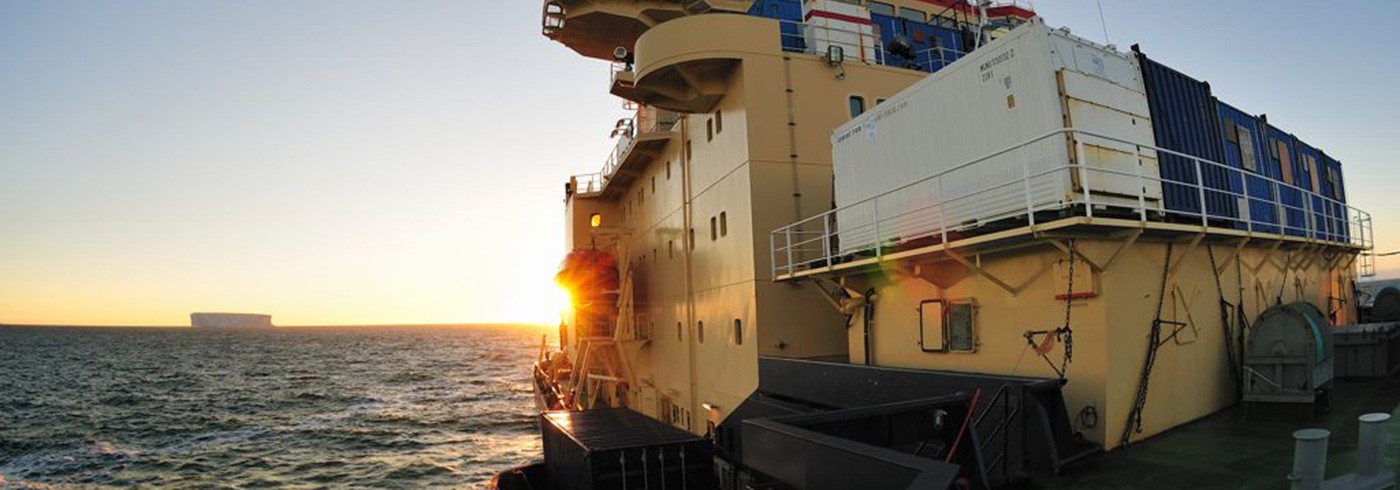
Our cruise plan, as I found out, was very similar to his though in opposite direction and would take us to immediate vicinity of the charted position. I started immediately feeding those in charge of the route planning of our expedition with my interest in getting to see that mystical little island and though everything depends on a number of factors on seas sprayed with icebergs and occasionally covered by packed sea ice, my wish had been well recorded and remembered when we on February 16^th started to approach the Pine Island Bay after a good week’s sailing from McMurdo. To keep the cruise speed high we had been a well off shore sailing mostly open waters and now, coming again closer to land, the detour via the island’s given coordinates wasn’t too bad and I was informed that we heading that way.
A good many truths are relative. Sun is supposed to rise in the morning and night is assumed to start as darkness falls. Cruising across the longitudes on high latitudes makes the way around the world relatively short. We have been crossing time zones every second day without altering our clocks and causing so a considerable failure in our ship time. It gets dark now for few short hours soon after seven in the afternoon. At midnight it is relatively light again. We have also crossed the International Date Line on our way east and sailed so to our yesterday without acknowledging that. We are some 20 hours ahead of the rest of the world on these longitudes, but as we haven’t seen anybody or anything man-made for eight days we feel free to set out time whichever way we want it. We go on sailing in the future.
Our arrival to the waters of the doubtfully existing island was estimated to take place around midnight. I hoped for some ice on our way to slow us down giving day some extra time to brighten up. Photography has become over the years my occupation and the means of studying the world around me. Dim light and the consequent long exposure times give me some hard times when pictures need to be taken from aboard a moving and rocking boat.
At quarter past 11 we got a yellow dot at the given coordinates on the radar screen among all the other similar dots marking icebergs. It took another 15 minutes for the island to appear from the morning mist and become gradually visible for eye. It looked just like any other of the hundreds of icebergs we had encountered. To judge by eye, it was one of them, an iceberg.
On chart an island was anyway drawn at this position and cautious for potentially shallow uncharted waters we kept some distance to the solid mass on our port side, weather it was an island or an iceberg.
In the dull and grey light of cloudy mornings ice masses appear holy as a thin white halo of cold air and blowing snow hovering above them remain visible before the brighter light bleaches it away. At twenty to midnight we were closest to the ice covered entity and I took my photographs of it before we took a new course yet deeper toward south and confirmed land.
It was assumed that there might well be a shallower point at the seabed on those given coordinates and an iceberg has anchored itself there more or less enduringly to haunt the cartographers. Maybe somewhat permanently stationary iceberg, standing in below zero degree waters and thus not melting, deserves to be drawn on maps, but an island it most probably was not. But what would an island look like here, how could one tell snow and ice covered land from solid ice? Our technical apparatus on board had registered no signs of the 500 metre deep water getting any shallower toward the island. We could not witness seabed rising and suggesting a possibility of an island, but then again the radius of the radar didn’t reach that far to be quite sure. The island kept its well-preserved secret and ED, Existence Doubtful, remains the best way to describe it despite our eyewitness.
Icebergs or doubtfully existing islands are not given names, but for myself I named the ice entity Ageless Island. It had been the birthday of my girlfriend and my brother had turned forty while I had been looking at the well aged, but fresh and shining white island rise from the mist and disappear the same way an hour later. All of them appear ageless to me and young forever.