The Chernokrebetnaya River traverse and the tectonic development of the Amerasian Basin
5 July 2010 - 20 August 2010
Regional setting and tectonic elements of the Arctic. Note that this is a pre-Tertiary reconstruction in which the Eurasian Basin has not yet opened and the Lomonosov Ridge is restored to its pre-rift position. Colour-coded bathymetry after the IBCAO bathymetric map.
The Amerasian Basin, at >3,000 m below sea level, is the deepest basin in the Arctic Ocean (figure 1). One question related to its tectonic development concerns the age and geometry of the folding in southeast Taymyr. One hypothesis suggests that the folding occurred when the Arctic Alaska–Chukotka Microplate (AACM, see map) was torn away from Arctic Canada (figure 1) and collided with northern Russia. Understanding Mesozoic tectonic events helps us understand how this ocean basin formed, which has important implications for many other Arctic issues, such as the modern distribution of natural resources, ocean circulation, and cold water currents.

Models of deformation in the Taymyr region. Mesozoic deformation across Taymyr may be diachronous, synchronous, and/or entirely separate in time from Verkhoyansk deformation. A, Anyui Islands (northern New Siberian Islands), L, Lyakhov Islands (southern New Siberian Islands), D, DeLong Islands, FB = foldbelt, SZ = Severnaya Zemlya.
Moving plates and folding crust
The age of folding in western and eastern Taymyr and to the east in Verkhoyansk varies spatially and temporally (figure 2). This variation in Mesozoic deformation across the region has led to two interpretations of the tectonic development of the region:
- A single, but diachronous, compressional event younging from Taymyr to Verkhoyansk. A migrating deformation front could explain this. The synchroneity of Mesozoic folding and thrusting in eastern Taymyr and Verkhoyansk (Jurassic at the latest and Cretaceous at the earliest) would imply that the South Anyui Suture (SAS in figure 1) crosses the Laptev Sea shelf and extends to the Taymyr Peninsula.
- Two distinct compressional events occurred, an older early Jurassic one in central Taymyr and a younger late Jurassic/early Cretaceous one across eastern Taymyr and Verkhoyansk. The early Jurassic deformation still relates to the opening of the Amerasia Basin, while the late Jurassic to early Cretaceous deformation in southeast Taymyr and Verkhoyansk relates to the collision involving the Kolyma–Omolon superterrane.

Geological map and Landsat image of the Chernokrebetnaya River region. Base camps are indicated by white triangles on the geological map.
Fieldwork
In 2010, our research team investigated the tectonomagmatic and sedimentary history of southeast Taymyr in the Chernokrebetnaya River region to establish crucial constraints on the nature and timing of this deformation, to compare it with deformation elsewhere in Taymyr, and to establish potential links with other contractional deformation belts in the Arctic. The 2010 season complemented previous field work in Taymyr (1998, 1999) and will provide the platform for our upcoming season (2012).
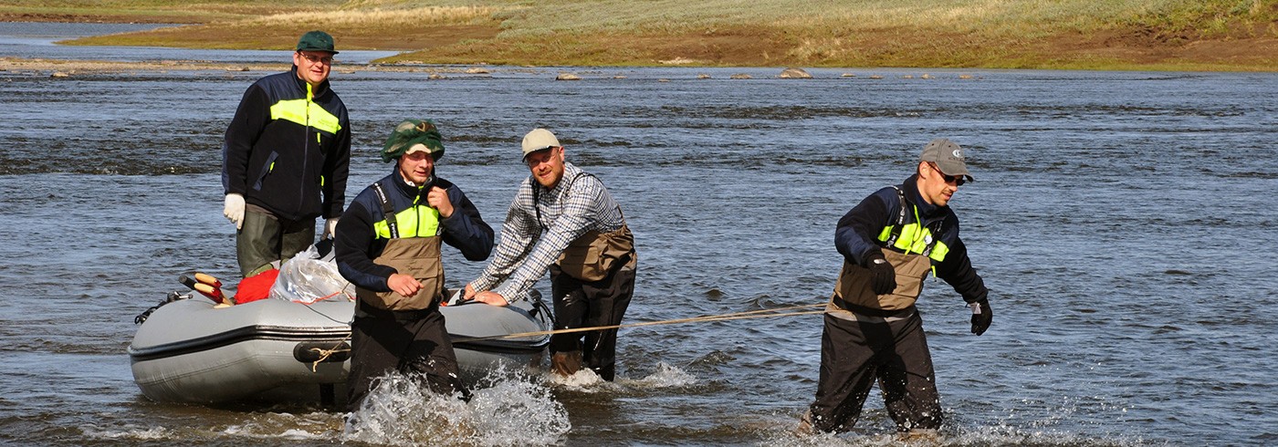
We departed Stockholm on commercial flights on 5 July and arrived in Khatanga on 7 July. On 10 July, the two Taymyr 2010 scientific teams shipped out by helicopter to their final destinations. Our team set up our first base camp in the oldest and northernmost part of our river traverse (figure 3). We moved downstream into the younger part of the section on 29 July. When not stranded because of bad weather, we generally hiked 10–15 km per day, using rubber boats to cross the river as needed.

1. Late Paleozoic carbonates in the core of the northern antiform are thoroughly recrystallized and locally brecciated.
2. Conjugate fault pair in the southern steep limb of the northern antiform offsets fine-grained sandstone beds in cleaved slates.

1. Deformation of the northern Late Paleozoic folded succession is demonstrably Mesozoic, deforming Permo–Triassic Siberian trap-related intrusive and extrusive igneous bodies. This image shows a dismembered basaltic dike in a fine-grained Permian succession. Elsewhere, dike margins are cleaved.
2. The southern antiform is cored by Permian and Triassic strata that are consolidated, cleaved, and steeply dipping in the fold limbs. The Triassic deltaic succession shown (younging to the left) is from the northern limb of the southern antiform.

1. In contrast, Jurassic strata deformed in the southern antiform are less consolidated and dip less steeply, suggesting that they drape on a Late Triassic fold hinge that has subsequently been tightened.
2. Jurassic strata are characterized by well-preserved, abundant shallow marine macrofossil assemblages.
Results
Our observations indicate that slightly deformed Jurassic strata are draped over older folded and cleaved consolidated rocks. Folding along the Chernokrebetnaya River is therefore pre-Jurassic and apparently nucleated on earlier Mesozoic structures unrelated to the opening of the Amerasian Basin. These observations are consistentwith a northward continuation of diachronous and polyphase Uralian orogenesis, which has long been debated, and support recent models in which Mesozoic deformation is at least as important as earlier-recognized late Paleozoic deformation in more southern parts of the Uralian orogen.


