The History of Science of Svalbard
Studying in detail the development of western knowledge on the polar regions tells us many things of what is exceptional about these parts of the world in that regard and what is in fact similar to conditions of knowledge formation elsewhere. Again evidence from field-work can provide us with unusual insights in this process. During SWEDARCTIC 2000 three sites and one special choice of course of the expedition ship the Origo were part of the history of science projects focussing on the exploration of Spitsbergen 1860-1900.
Field-work
The wintering station of the Swedish polar expedition of Adolf Erik Nordenskiöld in 1872–1873 at Mosselbukta on north-western Svalbard was surveyed with geographic information system (GIS) instrument for the first time. High-resolution digital photography was utilised extensively to document details in the ruins of the main station as well as many of the auxiliary buildings and sites such as the small boat harbour and the remains of a smithy that was previously unknown from the literature on this expedition. The site of the grave of the only participant of Nordenskiöld’s party that perished during this wintering was discovered elsewhere in the bay of Mosselbukta. It was the grave of boatswain Svan who died of scurvy. The place was documented photographically and its location determined by GPS.
In Murchisonfjorden the old Russian cottage and hunting settlement at Nordre Russøya was documented. This turned out to be interesting for the marine archaeologists but the reason for the brief visit from the point of view of history of science is the significance of the site in the history of archaeology itself on the islands of Svalbard. This wintering station is probably the most northerly of all stations from the Russian or Pomor period of hunting on Spitsbergen. A Swedish geophysicist Vilhelm Carlheim-Gyllenskjöld excavated it in 1898 and the small but fine material from this is still stored in its entirety, almost untouched ever since the days of Carlheim-Gyllenskjöld, in the historical collections of the Royal Swedish Academy of Sciences. This is the earliest archaeological excavation on Svalbard of which we still have the material items left, but Carlheim-Gyllenskjöld is simply dismissed as an old charlatan by most contemporary archaeologists active on Svalbard.
In the history of cartography one project has been considering the details of the mapping of the region of the Arctic situated to the east of Svalbard. In the occasionally intense discussions among 19th century geographers on this subject the islands, or the would-be new continent, of King Charles Land (today Kong Karls Land) takes on particular significance. This is not the place to go in to all the fascinating details of this knowledge process, some of which is of broad interest as examples on general principles of cutting edge research in an historical perspective.
Preliminary results
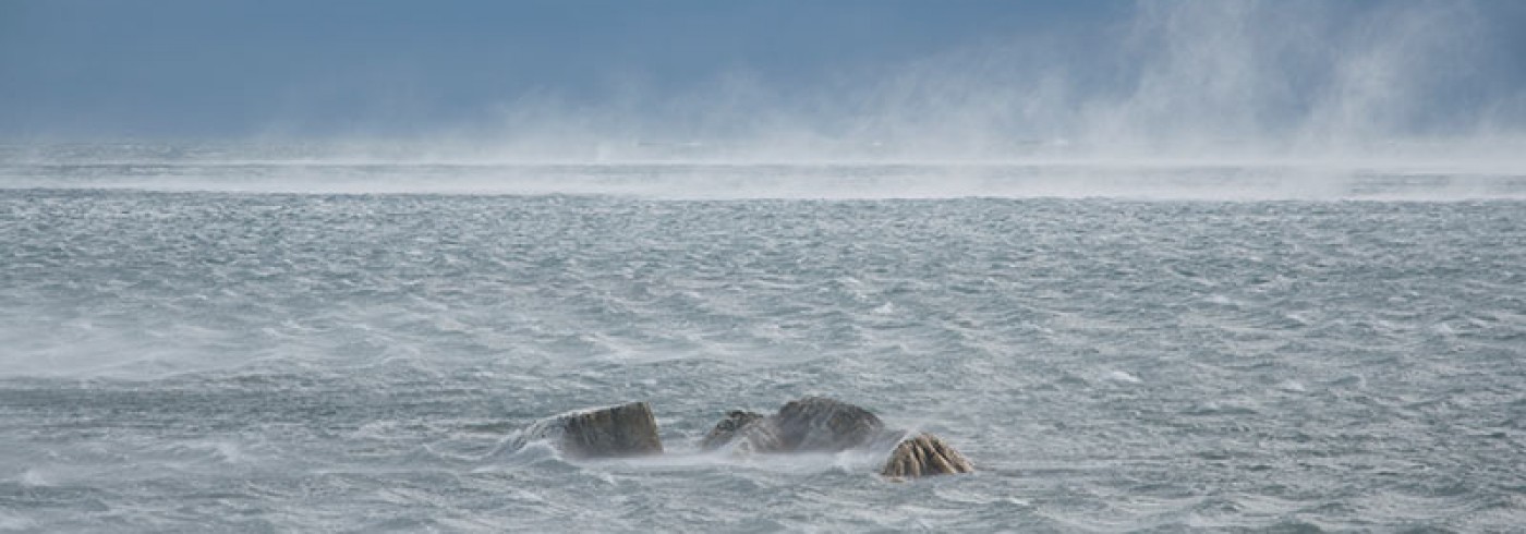
By cruising close to the islands of Kong Karls Land during Arctic summer conditions with good visibility, albeit heavy distortions by mirages, it was possible to document photographically several peculiarities in the observational characteristics of the islands. A landing was later made in Freemansundet between Edgeøya and Barentsøya in order to climb the nearby Middendorfberget. This is one historically significant place from which one of competing ”first” observations was made of Kong Karls Land. It was claimed by Theodor von Heuglin, a German explorer of Africa, on his sole but fruitful visit to Spitsbergen in 1870. The SWEDARCTIC team climb of the mountain was again favoured with good luck in terms of visibility. It was possible to prove that Kong Karls Land could actually be observed from here over the distance of 10 Swedish land miles, and more important was the opportunity to document what other known point in the surrounding landscape that Heuglin could have sighted and thus determined his hearing. Thus we were in a position to empirically establish Heuglin’s possibilities to determine his own position, given the cartographic knowledge of his times on this part of the world. And this all add new empirical information to the project of writing the history of cartography of the region to the east of Svalbard.
Dates
August–September 2000
Participants
Principal investigator
Urban Wråkberg
Center for History of Science, Royal Swedish Academy of Sciences
Stockholm, Sweden
References
Wråkberg, U. (1999). Avstånd i isens och dimmans land: Gissning och precision vid längdmätning i Arktis under 1800-talet. In: Tid, längd och vikt. Observatoriemuseets skriftserie no. 1. Elmquist, I. and Floren, J. (ed.). Royal Swedish Academy of Sciences, Sweden: Stockholm, 77-93.
Wråkberg, U. (1996). Ett Babylon i Ultima Thule: Den geografiska namngivningens historia i det europeiska Arktis. The Northern Space: The International Research Network on the History of Polar Science Working Paper, No. 3. Umeå University, Sweden: Umeå, 70.
Wråkberg, U. (in prep.) The Politics of Naming: Contested Observations and the Shaping of Geographical Knowledge. In: The Northern Space: Collective Memory, Science, and the Nordic Nations, 1800–1940. Bravo, M. and Sörlin, S. (ed.). Science History Publications, Canton, Mass., USA.
Wråkberg, U. (1999). Vetenskapens Vikingatag: Perspektiv på svenskpolarforskning 1860–1930, (1995) 2nd rev. ed. Bidrag till Kungl. Svenska Vetenskapsakademiens Historia, No. 30. Royal Swedish Academy of Sciences, Sweden: Stockholm, 260.
Wråkberg, U. (1993). Where Science Tums in to Sports and Politics: The Decline of Swedish Polar Research in the Early 20th Century. In: Center on the Periphery: Historical Aspects of 20th-Century Swedish Physics. Lindqvist, S. (ed.). Science History Publications, Can ton, Mass., USA, 79-106.