History of the Petermann Glacier
28 July 2015 - 2 September 2015The Petermann 2015 expedition targeted the Petermann Glacier, Petermann Fjord, and the adjacent Hall Basin of Nares Strait. The Petermann Glacier drains the north-western sector of the Greenland Ice Sheet into the Petermann Fjord. It is an active glacier with an ice stream that extends into the fjord as a floating ice tongue, also known as an ice shelf. The ice tongue appears to be thinning and might be heading towards a major calving event. In 2010 and 2012, the ice tongue extent was reduced by 30–40% through calving. The thinning has primarily been attributed to increased influx of warmer Atlantic Ocean water into the Petermann Fjord. Whether the ice tongue will face another major mass-loss event or whether it will regain its balance remains unknown. Potential future mass-loss of the Greenland Ice Sheet is a major source of uncertainty in predictions of long-term sea-level rise. Understanding the dynamics of the parts of the Greenland Ice Sheet that interact directly with the ocean, areas such as the Petermann Glacier, is critical to reducing this uncertainty.

Mapping in front of the Petermann ice tongue with RV Skidbladner. Photo: Martin Jakobsson
The Petermann area was selected because it can serve as a natural laboratory for understanding the long-term change of the north-western sector of the Greenland Ice Sheet and this region’s marine cryosphere. This project aims to determine whether the Petermann Glacier’s long-term history has involved dramatic events of mass-loss followed by steady recovery over time or whether history shows that loss of the ice tongue will initiate a major drainage of the entire north-western sector of the Greenland Ice Sheet. The main aim of this project is to resolve the long-term history of the Petermann Glacier and to learn about its dynamics and interactions with the ocean, climate, and the north-western region of the Greenland Ice Sheet.
To study the history of the Petermann Glacier, geological sediment coring was conducted using piston, gravity, and multi corers. The icebreaker Oden is well equipped for geophysical mapping, and surveys were conducted using a permanently installed multibeam echo sounder, a chirp sonar sub-bottom profiler, and a mid-water sonar, together with seismic reflection profiling provided by the Geological Survey of Denmark and Greenland (GEUS). The 6.4 m-long aluminium boat RV Skidbladner was used for high-resolution multibeam bathymetric mapping in front of the outlet glaciers and in shallow areas beyond the reach of Oden.
In just one month, the Petermann Fjord and adjacent HallBasin was transformed from a practically unknown region in terms of seafloor morphology, to one of the best-mapped regions in the Arctic. Glacial landforms preserved on the seafloor reveal in detail multiple generations of glacial advance and retreat. The ice stream jump between more stable grounding zones and, at times, transforming into a floating tongue. This pristine seafloor record will permit study of the rules of glacier retreat and, it is hoped, allow better projection of potential future states. The sediment coring programme managed to retrieve about 60 sediment cores. The coring sites were strategically located to capture the sediment characteristics of the glacial landforms and to date the various locations of the stable ice stream grounding zones in the Petermann area. An oceanographic program was run along the marine geological coring and geophysical mapping. In conjunction with the marine program on board Oden, a team lead by the British Antarctic Survey (BAS) carried out drilling through the Petermann ice tongue. This drilling compliment with information from marine environment underneath the ice tongue.

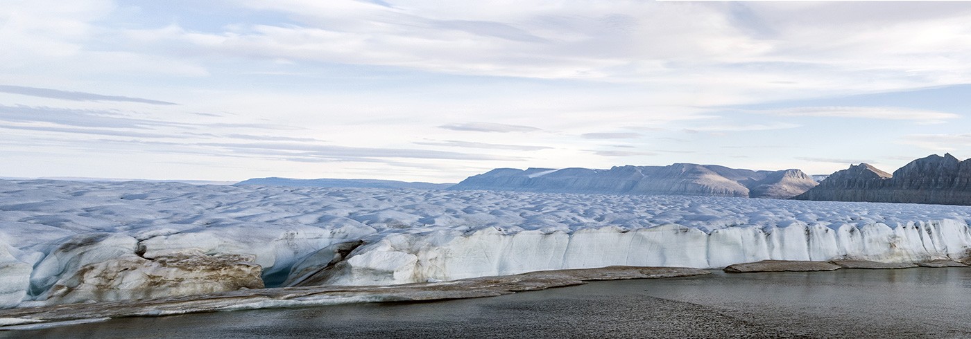
IB Oden in front of the southern vertical wall of Petermann Fjord. Photo: Martin Jakobsson

RV Skidbladner to be launched from icebreaker Oden in Petermann Fjord. Photo: Björn Eriksson

Map showing the data collection during the Petermann 2015 Expedition. Compiled by Martin Jakobsson