Oceanography: CTD measurements
31 July 2012 - 14 September 2012
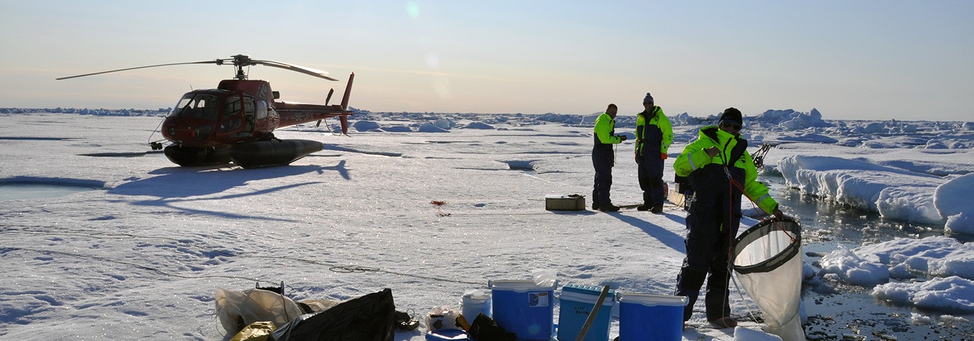
CTD station map showing ship (S), expendable probes (X) and helicopter (H) ice stations recovered during LOMROG III.
The oceanographic programme carried out during the cruise includes the collection of water column profiles with conductivity, temperature, and depth (CTD) data and water sampling.
The measurements served two purposes:
- to support the seismic and hydrographic activities of the Continental Shelf Project of the Kingdom of Denmark, and
- to support the Swedish research projects and, when possible, the Danish science of opportunity projects.
A total of 29 ice stations were completed successfully in four hours on the ice at each station. Thirteen ship stations were also completed. A number of science projects sampled the rosette and were involved in the water budget planning at each station.