Sea ice temperature project
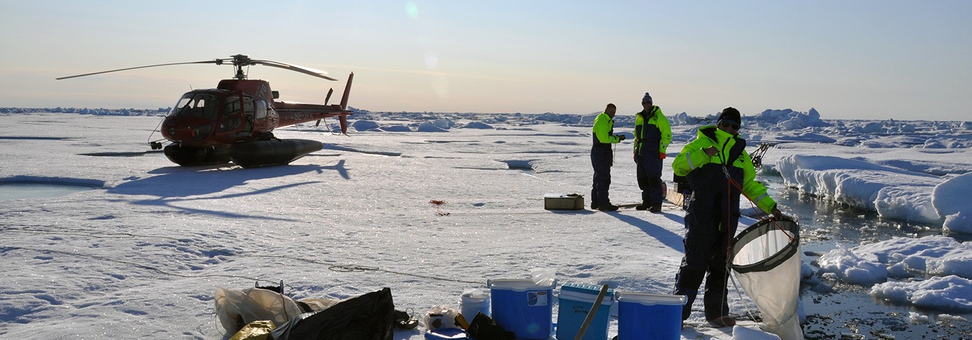
31 July 2012 - 14 September 2012The aim of the sea ice temperature project conducted during the cruise was to collect a large dataset capturing the influence of and correlation between actual snow and ice temperatures, satellite measurements, and the variables that influence these measurements. This will provide valuable knowledge for both thermodynamic modelling and algorithm development in remote sensing-based applications. Data were acquired using infrared and microwave instruments installed on Oden, eight mass balance buoys deployed between Greenland and the North Pole and in situ measurements of snow and ice characteristics recorded throughout the cruise.
The synchronous measurements of sea ice temperature will be compiled in a match-up database after the expedition. The subsequent data analysis will improve our understanding of snow and sea ice temperatures and of the melting/freezing processes in the Arctic. New insight into Arctic snow and ice properties will improve the interpretation of satellite-based temperature measurements and eventually result in higher-quality temperature data input to ocean and weather models.


