Rocks provides an important indication of the impact of climate change on the Antarctic ice sheet
18 December 2016 - 27 February 2017
The MAGIC-DML team. Photo: Carl Lundberg
Almost all of Antarctica is covered by ice. Underneath the ice sheet is a landscape composed of hills, valleys, mountains, and planes, similar to landscapes on other continents. This landscape becomes gradually exposed when the ice sheet shrinks and the first parts of the landscape to emerge from the ice are the summits of the highest mountains, known as nunataks. Nunataks therefore contain a wealth of information that can show how thick the ice sheet was during the Last Glacial Maximum 21,000 years ago and how much it has thinned until today.
Earth is constantly bombarded by cosmic radiation which consists of extremely energetic particles from space. The ice sheet acts as a shield, but when the ice sheet shrinks and nunataks are exposed, minerals in exposed rock, such as quartz, become enriched in cosmogenic nuclides. By measuring the concentration of such cosmogenic nuclides in erratic rocks on the slopes of nunataks, we can calculate how long these rocks have been exposed to cosmic radiation. As a result, we can ascertain how much, and at what rate, the East Antarctic Ice Sheet has shrunk.

The Milorgfjella spurs are really inaccessible and not easy to sample. However, their rugged beauty cannot be denied! Photo: Ola Fredin
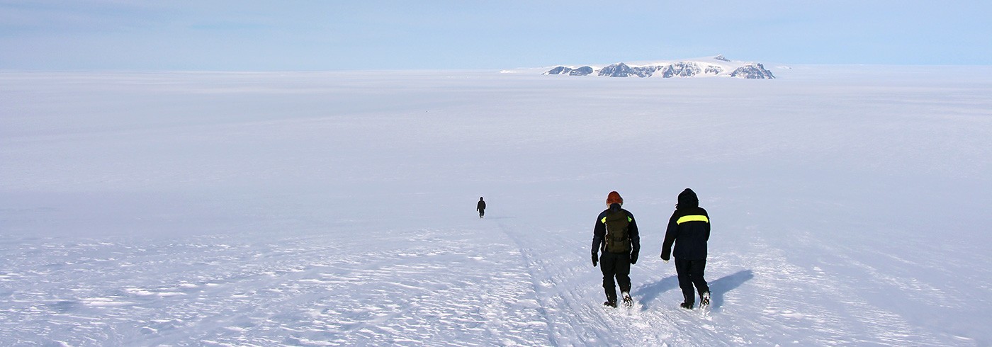
Mountains in Dronning Maud Land in Antarctica are almost entirely covered by the East Antarctic Ice Sheet and is one of the least studied areas – even though a reduction in ice sheet volume has been confirmed here. During the expedition, surface samples were taken from erratic rocks at varying elevations on nunataks surrounding the Swedish research stations Svea and Wasa. Preparations for the next field season in Antarctica are underway, and this time samples will be collected along an Ahlmanryggen-Borgmassivet-Kirwanveggen transect, a mountainous region close to the South African research station, SANAE IV.
Samples from this year’s and the upcoming field seasons will, together with satellite imagery and topographic models, be utilised to test and improve ice sheet models and yield, ultimately, information on how the East Antarctic Ice Sheet and sea level are affected by climate change; both historically and in the future.

Two specially-equipped trucks and snowmobiles were used to get between the field sites and the research station Wasa. Photo: Carl Lundberg