Coffee break on our way to Milorgfjella. On the trailer you can see gray Jet-A1-powered snow melting device that provides drinking water for us together with an assortment of GPS and sampling equipment. The rest of our camping and field equipment is packed in the large silver boxes on the backs of the cars. Photo: Ola Fredin

Our camp at the foot of Milorgfjella. We sleep in two of the big ”Endurance tents” while one is our cooking and working tent. Ola Eriksson is setting up our ”toilet tent” in the foreground on our first night out. Photo: Ola Fredin
On January 21st we headed out for our first major fieldwork in Milorgfjella (pronounced ”Mee-lorg-feeyella”) about 240 km South-southeast, of the research station Wasa. We set out early in the morning with our two trusty cars packed to the gills with fieldwork equipment, food, camping gear, and the many bits and pieces that are needed for remote fieldwork in Antarctica. For example, we have lots of electronic equipment e.g. GPS, rock drills, rugged computers and tablets, that have to charge every day. Warm clothes and sleeping bags also amount to a large volume of our cargo. In short, keeping eight people fed and warm during fieldwork in Antarctica requires lots of planning and equipment.
Travelling across the ice sheet takes time. Driving over bumpy, hard packed snow dunes called sastrugi. We also need to constantly check and adjust the tire pressure on our cars so that they make it through the snow. Once in a while we get stuck and we all need to get out of the cars and start shoveling and inching the cars out of soft snow. After almost 13 hours of slow but mostly comfortable driving we arrived at the Milorgfjella. We set up camp at 1400 m above sea level behind a series of debris ridges on an ice surfaced moraine called the Sømmemorenen. We were immediately struck by the beauty of the Milorgfjella mountain range, but soon also realized that these very steep cliffs would be difficult to access and sample.

The Milorgfjella spurs are really inaccessible and not easy to sample. However, their rugged beauty cannot be denied! Photo: Ola Fredin

While sampling we need to make numerous observations related to the sample. Nat is measuring shielding of the cosmic rays by surrounding topography, while Neil is taking notes. Photo: Ola Fredin
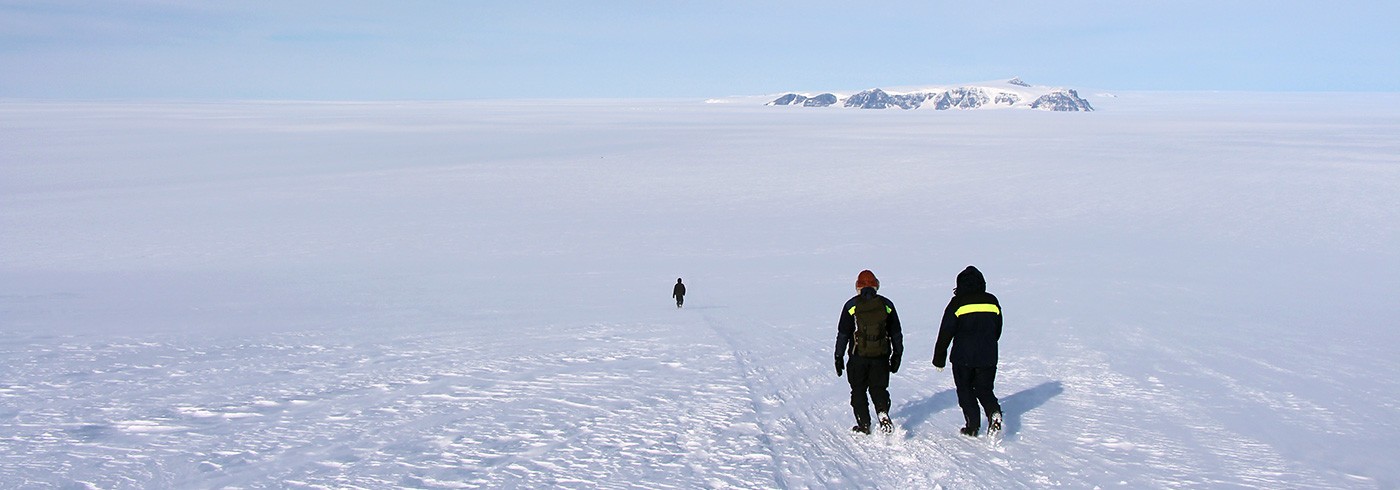
Our idea was to sample low elevation ”erratics” (boulders transported from far away by the ice sheet) and bedrock near the contemporary ice surface, at middle elevations along valley spurs, and at high elevations on the mountain-ice sheet plateau behind. On our first day out the science team, Nat, Jenny, Neil, and Ola F set out to sample low elevation spurs across the ice by foot while the logistics team, Calle, Henrik T, Henrik H, and Ola E, used one of the cars to scout a route up onto the high elevation plateau. We found a few good samples at low elevations but learned in the evening from the scouting team that the going was tough at higher elevations due to soft snow and steep slopes.
The following day Ola F, Jenny, Henrik T, and Calle set out for a second attempt to reach higher elevations but soon became bogged down again in soft snow. We changed our route and drove out onto uncharted ice using our ground penetrating radar to check for crevasses and find a safe route. We finally reached a bedrock ridge at about 1800 m above sea level where we found a good sample. Let us call it a partial success. Meanwhile, Nat, Neil, Ola E, and Henrik H had investigated the blue ice areas and the Sømmemorenen in detail below and we decided to work on the moraines the following day. By now we had learned some important lessons about working in Antarctica. Transportation and work often takes twice the time (or more) compared to work in other remote areas. We have defined the Antarctic kilometer – ”It looks like one kilometer, is actually two kilometers and feels like four kilometers”!
So we reluctantly concluded that we could not realistically reach mid- and high-altitude sampling sites and instead focused on dating and characterizing what we think is a big rock avalanche deposit on the Sømmemorenen. This deposit could help us constrain the deglaciation and Holocene ice flow history in the area. After some days of beautiful work, and cold nights, in Milorgfjella we returned back to Wasa for rest and preparations for the next long period in the field.


