Antarctic stations: between whaling, science, and geopolitics – the LASHIPA 8 expedition
6 March 2010 - 13 April 2010
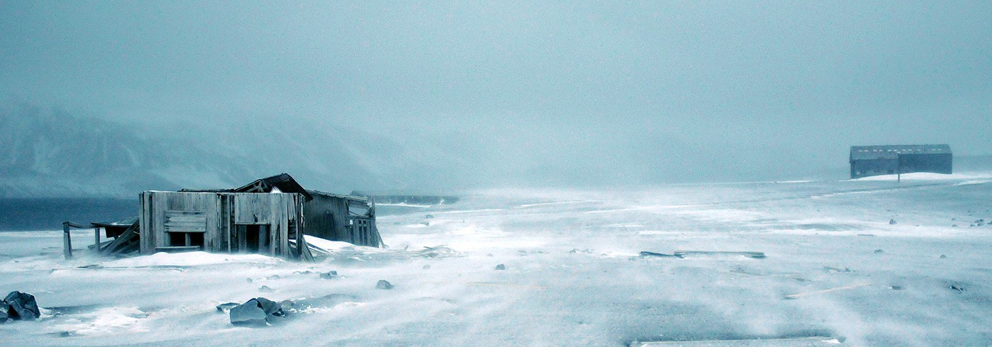
Abandoned research station, Deception Island – a source of historical knowledge about the conditions of Antarctic research. Photo: Dag Avango
There is increasing interest in the economic potential of polar areas for tourism and natural resource exploitation – particularly in the Arctic. In addition, various stakeholders are increasingly interested in exerting political influence. By studying the interaction between industry, science, and geopolitics in the polar areas in the past, we can better understand the recent development and its possible political consequences.
Our purpose was to collect data for two research projects within the International Polar Year project LASHIPA (Large scale historical exploitation of polar areas):
- Development and decay: a comparative study of four former whaling stations in the Arctic and Antarctica.
- Rituals and symbols in the struggle over the polar areas and their natural resources.

Pump house for fresh water to the pressure cookers of the whaling industry, Borge Bay, Signy Island. Photo: Dag Avango
The field research was guided by three main questions:
- How was the early twentieth century Antarctic whaling industry planned and organized?
- What strategies did whaling companies use to adapt their industry to the environmental, social, and political conditions of Antarctica?
- In their activities, how did whaling companies and scientists interact with states claiming sovereignty over parts of Antarctica?

Whalers graveyard, Borge Bay, Signy Island. Photo: Dag Avango
Principal islands
The expedition covered five main areas that have been focal points of international competition over natural resources and political influence throughout history, and they all contain rich archaeological remains of such activities:
- South Orkney Islands (Laurie and Signy islands)
- Antarctic Peninsula (Hope and Paradise bays)
- South Shetland Islands (Deception Island)
- Gerlache Strait (Nansen, Enterprise, Goudier, and Wiencke islands and a number of un-named islands in Svend Foyn Harbour and the Errera Strait)
- Melchior Islands (Gamma and Lambda islands)
All sites were mapped using high-quality GPS units, and palmtops equipped with esri ArcGIS mapping software. The three most important sites were mapped using a total station. In addition, the team measured and drew most of the remains. The expedition photographer photo-documented all remains at all sites.

Science and geopolitics: a formerly British but currently Argentinian research station on Laurie Island. Photo: Dag Avango
Learning the trade
We gained new knowledge of the design and the scope of the technological system of the early twentieth century whaling industry in Antarctica. The whaling stations were designed for coproduction with floating factory ships, parts of the production line being on board and parts on shore. However, the whaling companies used not only the stations, but the entire landscape of the Antarctic Peninsula region. Most small ice-free islands and capes contain remains of intermediate storage facilities and of anchor points for floating factories. All ice-free land in the region was used as part of the whaling industry system, as was the Antarctic ice mass, which provided the freshwater necessary for processing the whales.
When it comes to science and geopolitics, the strategic locations of the stations made them valuable for re-use by scientists and for bolstering sovereignty claims in the Antarctic Peninsula region.

Dag Avango mapping historical remains with total station at Laurie Island. Photo: Ulf Gustafsson

Stockyard for barrels on an ice-free islet at Svend Foyn Harbour – a part of the technological system of whaling at the Antarctic Peninsula. Photo: Dag Avango

The expedition ship Golden Fleece in a stormy Larsen Channel. Photo: Dag Avango

Golden Fleece in the drift ice at Dorian Bay, Wiencke Island. Photo: Dag Avango
The knowledge, experience, and conduct of Captain Jerome Poncét were crucial to the success of the expedition, as were the professionalism and friendliness of his crew on the research vessel Golden Fleece, which served as the logistical platform.