Continuous GPS-monitoring at Station Svea
5 November 2004 - 1 December 2004
GPS measurement at Wasa station. Photo: Erick Asenjo
Introduction
The participation of the Division of Geodesy of the Royal Institute of Technology, Stockholm, Sweden, in the SWEDARP Antarctic expedition in 2004/05 is a contribution to the SCAR permanent GPS tracking network. During the period 1991–2005 our division has taken part in five different expeditions to the Antarctic continent (1991/92, 1993/94, 1997/98, 1999/2000 and now 2004/05). The geodetic task was to continue the Swedish participation in the SCAR Epoch Crustal Movement GPS Campaigns at the Wasa Station (a short GPS observation time, 20 days measurement in the Antarctic summer observed from different sites) and to establish a continuous GPS monitoring site at Svea, the Swedish research station located in Heimefrontfjella in Dronning Maud Land about 100 km south of Wasa.
The SCAR GPS Crustal Movement Campaigns
The goal of the SCAR GPS campaigns, a part of the program Geodetic Infrastructure in Antarctica (GIANT) is to establish and to maintain a precise geodetic reference network linked to the international reference frame ITRF, to use the Antarctic network for geodynamic research and as a reference network with sites for other GPS applications. The GPS observation campaigns have become an important component of research in the frame of the SCAR group on specialists of Antarctic neotectonics, ANTEC.

Permanent GPS Station Svea in Heimefrontfjella. Photo: Erick Asenjo
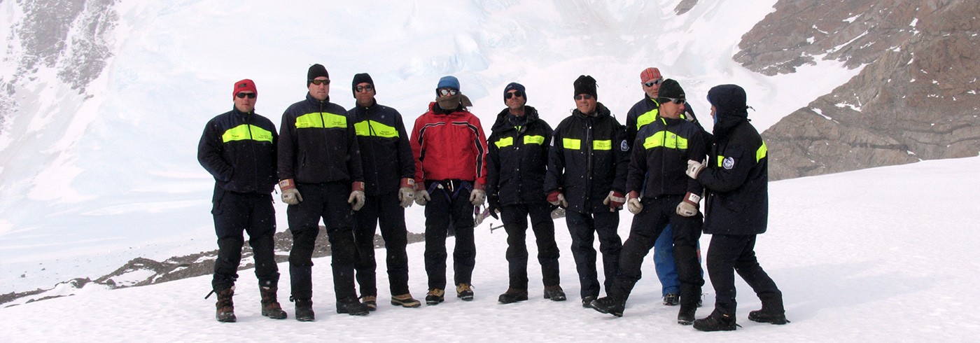
SCAR GPS campaigns have been carried out annually with various participations since 1990/91. The list of participation this time was Base Artigas (supervised by Uruguay), Fossil Bluff (UK) Maitri (India), Vernadsky (Ukraine), and Svea and Wasa (supervised by Sweden). Since a few years ago some stations operate with permanent GPS stations all year round. The data from the permanent tracking sites have to be included in the list of participation and in the data analysis. The observation parameters for this type of measurements are: 15-second recordings of the L1 and L2 GPS phase and code signals of all GPS satellites down to an elevation angle of 10 degrees above the horizon. A new instrument was used this time at site Wasa (picture 1): a Trimble R7 receiver with a Trimble Zephir Geodetic antenna with ground plane.
Continuous GPS-monitoring at Svea station
Since January 2003 the Finnish Geodetic Institute (FGI) has been performing continuous GPS observations at Aboa station, only a few hundred metres from Wasa station, which has participated in several SCAR Epoch GPS campaigns. The set of observations at Aboa, connected to Wasa, is a natural continuation of the five previous GPS campaigns undertaken at Wasa. In a similar way it was decided to set up a new reference point at the Swedish research station Svea located in the Heimefrontfjella area. Our future efforts will mainly be focused on the maintenance of the continuously operating GPS station at Svea.
The GPS point at Svea is fixed to the solid bedrock, a few metres away from the main container of Svea, in such a way that we could accommodate there the battery pack for the power supply to the receiver. The instrument selected is a low-power GPS receiver R7 from Trimble with a consumption of 1.8–2.3 W. The R7 GPS receiver is a dual frequency system with L2C capability. The accuracy specified for the 24 channel instrument is ± 5 mm +0.5 ppm RMS in the horizontal and ± 5 mm + 1 ppm RMS in the vertical component. We disconnected the integrated UHF radio modem of the instrument to maintain a low energy consumption. The instrument collects 24-hour daily L1/L2 carrier phase data of high quality acquired with the 15-second sampling rate. Data are logged in a 1GB Compact Flash memory. We can log in the CF memory up to 512 days of raw observations collected at the specified sampling rate. The CF memory is for industrial use and can work down to -40°C. The operating temperature of the receiver also goes down to -40°C. The data are collected annually by manually changing the memory card during summer expeditions. The automatic transfer of data via satellite communication is not possible at this time.
Six 12 V batteries with total 600 Ah are charged through solar panels until the sun is below the horizon. This and a wind generator for the period of winter darkness are the options for power supply. The Swedish Polar Research Secretariat’s logistic group is already planning a better future solution for power supply.
The Ashtech choke ring antenna is used with conical Ashtech snow radome and with a Dorne & Margolin vertical dipole element, a high precision antenna used in a number of reference stations all around the world.
As an antenna mount we decided to follow more or less the recommendation – referring mainly to the Wasa station – by the geodesist team participating in the expedition in 1999/2000 (Andersson, 2001). The solution consists of a 1.5 m high steel grid with a hot galvanized mast. As the point is marked in the solid bedrock we used a tribrach with optical plummet for centring the antenna exactly over the point.
A Real Time Kinematic (RTK) service is included in the project when the Svea station is open. RTK corrections are sent with 439.800 MHz using a 35 W Pacific Crest radio modem, model PDL HP Base. The RTK will be available for an area up to 30 km in order to obtain accurate coordinates in real time to within ± 2 cm.
In November 14, 2004, at 2.21 pm the station became operational, and we immediately started the GPS measurements at the permanent reference Station Svea (picture 2).