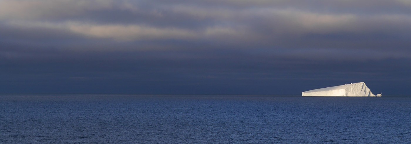
Travelled a little too far it would seem: back to an internet-less World. We’ve entered the absolute epicentre of a satellite no-coverage zone, stuck between the Americas and Asia-Pacific, and we’re set to be here for some time. Conversation around the ship invariably comes back to ‘well if we had the internet…’. Or simply dwelling on ‘29 days…’. Trials and tribulations of being at sea in the 21st century; how will we possibly cope?! I’ll keep on writing – at some stage this will make it into the Outside World.
Science continues relatively unabated. We’re a few days into Phil’s project now, and the next suite of techniques for studying the seafloor has been deployed. After playing for an hour or so with an underwater camera deployed almost down to the seabed off the ship deck (amazing quality of images of the modern ecosystem at the sediment surface) we got into position for three long seismic lines across the whole span of the continental shelf. Seismic signals penetrate deeper down into the substrate than the chirp acoustic subbottom profiler we’ve been using in the western Ross Sea, so we can record reflections from strata buried much deeper (and therefore older), albeit at a lower resolution. And in contrast to the chirp and multibeam, which are mounted on the ship’s hull and emit a short clicking sound, the seismic pulse is fired from an airgun towed ~60 m behind the ship. I think those of us who’ve never been involved in seismic collection before naïvely thought we’d hear something. But instead, we see only the faintest illumination and shudder of the buoys that keep the airgun just below the water surface.
Our long lines bring us relatively close up to the front of the Ross Ice Shelf. It’s a formidable sight, the solid white wall rising up out of the waters, even though it’s relatively lowlying. Turn around, your path is blocked here.
Sarah Greenwood, Stockholm University


