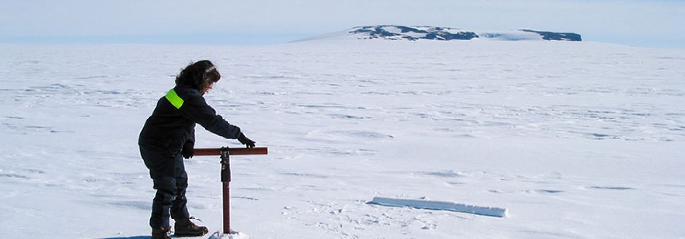
A Swedish geodetic survey in Antarctica
Se forskarrapport: A Swedish geodetic survey in Antarctica 1999/2000
Datum
14 december 1999–31 januari 2000
Deltagare
Forskningsledare
Lars E. Sjöberg*
Institutionen för geodesi och fotogrammetri, KTH
Stockholm
Ivar Andersson
Institutionen för geodesi och fotogrammetri, KTH
Stockholm
Erick Asenjo
Institutionen för geodesi och fotogrammetri, KTH
Stockholm
*Deltog ej i expeditionen
Referenser
Andersson, I (2001). Geodetiska mätningar vid station Wasa, Antarktis 1999-2000. Examensarbete
Jokela, J., Ollikaainen, M., Rouhiainen, P. and Virtanen, H. 1993. The gravity and GPS survey in Western Maud Land, Antarctica, 1989-1992. Reports of the Finnish Geodetic Institute 93:6. The Finnish Geodetic Institute, Helsinki.
Morgan, P., Tiesler, R., McDowall, B., Manning, J., Hendy, M. and Coleman, R. 1995. Solution from SCAR GPS campaigns.
Pan, M and Sjöberg L. E. (1996). Positioning of Station Wasa from the SCAR GPS Campaign 1992. Royal
Institute of Technology, Division of Geodesy, Stockholm.
Sjöberg, L. E. and Asenjo, E. (1997). The Swedish Geodetic Survey in Antarctica in 1997. Royal Institute of Technology, Division of Geodesy, Stockholm.


