LASHIPA 5 – the archaeology of natural resource exploitation and geo-politics on Svalbard
27 July 2008 - 17 August 2008
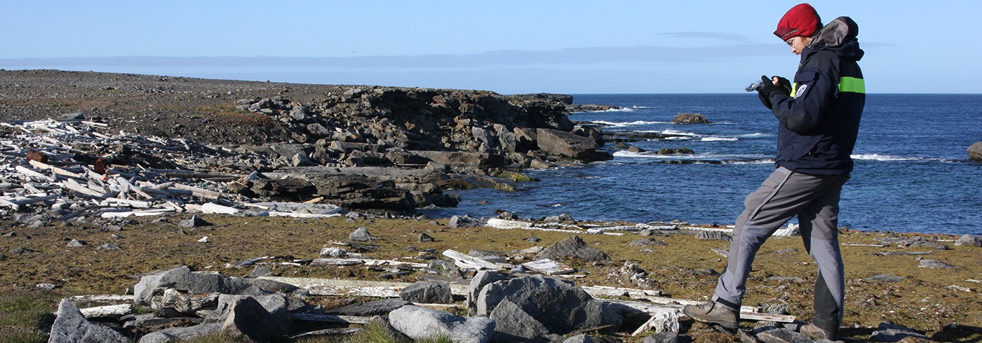
Ph.D. student Frigga Kruse (team 1) documenting remains of a Scottish mining- and prospecting camp at Richard Lagoona, Prince Charles Foreland. Photo: Dag Avango
LASHIPA, Large Scale Historical Exploitation of Polar Areas, is a research project within the framework of IPY 2007–2008, with participants from six countries. The aim of the project is to explain the development of natural resource exploitation in the polar areas from the 17th century until today, and ensuing consequences for the geopolitical situation and the local environment. The project has an international comparative and bi-polar approach, breaking away from national frame-works common in previous research on polar history. It is a multidisciplinary project, with an emphasis on the disciplines of History and Industrial Archaeology.
Gather archeological evidence
The LASHIPA 5 expedition took place between 27 July and 17 August 2008. The expedition’s objective was to gather archaeological evidence from mining- and mineral exploration camps, as well as whaling and hunting stations on Spitsbergen and Bjørnøya. The scientific aims of the expedition were closely tied to the overall objectives of LASHIPA and the individual subprojects within the program (i.e. masters and Ph.D. theses, and post-doc projects). The results of the expedition greatly bene-fit the continuing research goals of the subprojects of LASHIPA, as well as those of the programme as a whole.
Mining activities
Team 1 documented remains of British, Dutch and Russian mining camps from the early 20th century, in the area of Isfjorden, Forlandssundet, Kongsfjorden and Krossfjorden. The team also mapped remains pertaining to the struggle for control over natural resources and political inf luence on Spitsbergen: huts and sign-posts that marked out claimed territories. The survey showed that the mining activities of early 20th century British mining companies on Spitsbergen were far more extensive than previously understood, placing contemporary British claims for sovereignty over Spitsbergen in a new light.
Archaeological excavation
Team 2 continued an archaeological excavation of a Russian Pomor hunting station at Kokerineset in Grønfjorden, opened in August 2007. Their objectives were to determine the chronology of site development and to locate a possible older West European whaling occupation layer. They were unable to locate such a layer but did garner new important knowledge on the way Pomors organised their hunting camps.
Design of whaling stations
Team 3 was active at Bjørnøya. The team mapped the remains of a Norwegian whaling station from the early 20th century at Kvalrossbukta. The investigations made clear that the whaling companies in the European high Arctic designed their whaling stations quite differently, despite the fact that they were built in similar environments. These results will help to reveal the socio-cultural constructs behind the design of technology in the polar areas.
American coal mining
Team 4 mapped remains of American coal mining activities on Spitsbergen from the early 20th century. The team located and documented sites at Sassenfjorden, Colesbukta and Longyeardalen. The results clarified the location and design of important industrial facilities and opened new avenues for research into the transfer of technology to Arctic environments.