The sea ice is not part of our science. Though perhaps no one’s told it so – it seems to want to creep up on us from any direction, at any moment. Sea ice has been a tale of our first couple of days’ science, chasing us out of open water embayments and leads. We lasted 10 hours before having to change our course, and our plans! Although we’re on an icebreaker ship which can easily get through the summer sea ice, the ice interferes badly with the two types of sonar we’re running, and there’s simply no point in collecting bad data if we can be at all flexible about exactly where we survey. Having said that, where we’ve found open water (and the ship’s crew have been excellent at steering us into the best areas possible to collect the best data we can – and putting up with our last minute requests and changes), we pieced together a great patch of data over southern Drygalski Trough in the first 48 hours of the cruise, and I’m very happy with the quality of data collected: long may it last!

Kasten coring in the Drygalski Trough. Photo: Sarah Greenwood
Our primary targets are the glacial deposits of the last (de)glaciation that cover and form the seafloor here on the continental shelf. My group is using multibeam sonar (to generate a high resolution depth model of the sea floor), chirp sonar (to ‘see through’ and record the stratigraphy of the upper ~20m or so of sediment) and we’re taking a large number of sediment cores to directly sample the surface and up to 6m of buried sediment. The sonars have been logging since we left McMurdo and will do so for the remainder of the cruise, more or less, and we’ve 5 cores in the bag to keep those folk who like to play with mud and bugs happy. Grounding zone wedges have been the story of these first survey days: large deposits which accumulate at the front of the ice sheet, at the point at which ice no longer sticks to the seafloor but begins to float. We’ve recorded these in all manner of forms and positions in and around southern Drygalski, an area that’s been very poorly surveyed until now. Our data should give us a great handle on retreat of the last ice sheet here. It looks like our cores reached down to the sediments deposited at or close to the time/position of ungrounding, which will give us even better insight into the sediment processes and environments at the grounding zone and, we hope, the timeframes for retreat across our study area.

Ruthie Lauren from Rice Univ. looking at the chirp sonar output coming in. Photo: Sarah Greenwood
Drygalski’s done – for now. We’re running a line down Joides and then Pennell troughs to get preliminary survey coverage for this first part of my group’s cruise time, before we head East to Phil’s area. We’ll be back here in a month or so, and have plenty of food for thought in the meantime.

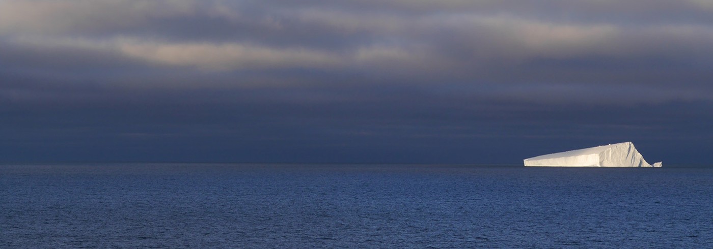
Sea ice. Photo: Sarah Greenwood