MARA – Atmospheric radar at Wasa/Aboa, Antarctica
4 December 2007 - 1 February 2008
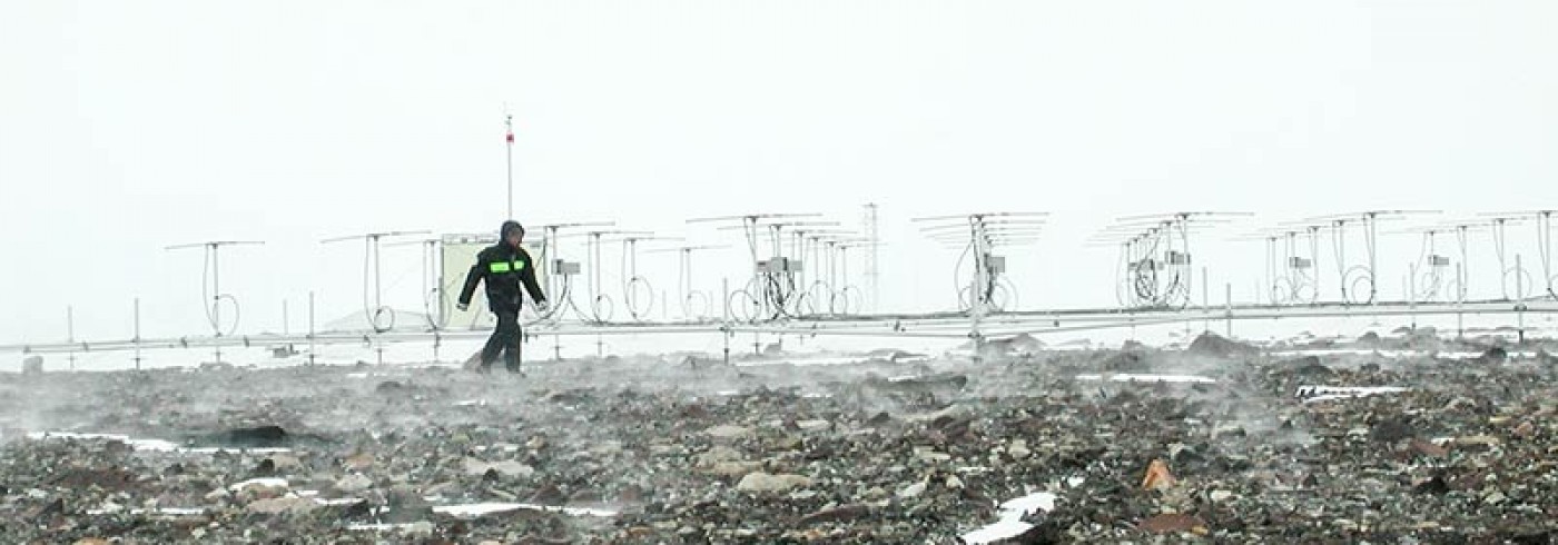
Ingemar Wolf checking the MARA antenna array during a storm. Photo: Sheila Kirkwood
MARA is a radar that measures winds, turbulence and layered structures in the lower atmosphere, below 10–15 km altitude, and in a cloud layer at 80–90 km altitudes. One aim of this project is to gain a better understanding of why clouds form at 80–90 km. The clouds are well known at high northern latitudes where they are visible on summer nights as noctilucent clouds, but are much less studied over Antarctica. A second aim is to study mixing of trace gases between different levels in the lower atmosphere. Such mixing can, for example, bring air from the stratosphere to the surface where it can affect the trace-gas signatures in the climate-archive in ice-cores.
Unexpected results
MARA consists of two racks of electronics and a large antenna array (48 dipole antennas set out over an area approximately 40 metre x 40 metre). The radar was installed at the Swedish Antarctic station Wasa for the first time in January 2007, and operated then for two weeks. The 2007/08 season allowed a much longer period of measurements – 60 days from 4 December to 1 February.
Already within a few days of starting measurements it became obvious that something unexpected was happening in the noctilucent cloud layer. Those results, combined with similar results from the Australian station, Davis, show that processes over Antarctica are distinctly different from the northern hemisphere (Kirkwood et al., 2008). A further bonus for the 2007/08 season was the passage of several storms.
The storm winds generated huge waves over the nunatak on which MARA is located, and these generated vigorous vertical mixing. Analysis is underway in collaboration with scientists from University of Helsinki and Finnish Meteorological Institute, who monitor meteorological measurements at the Finnish station, Aboa, situated at the same site as Wasa.