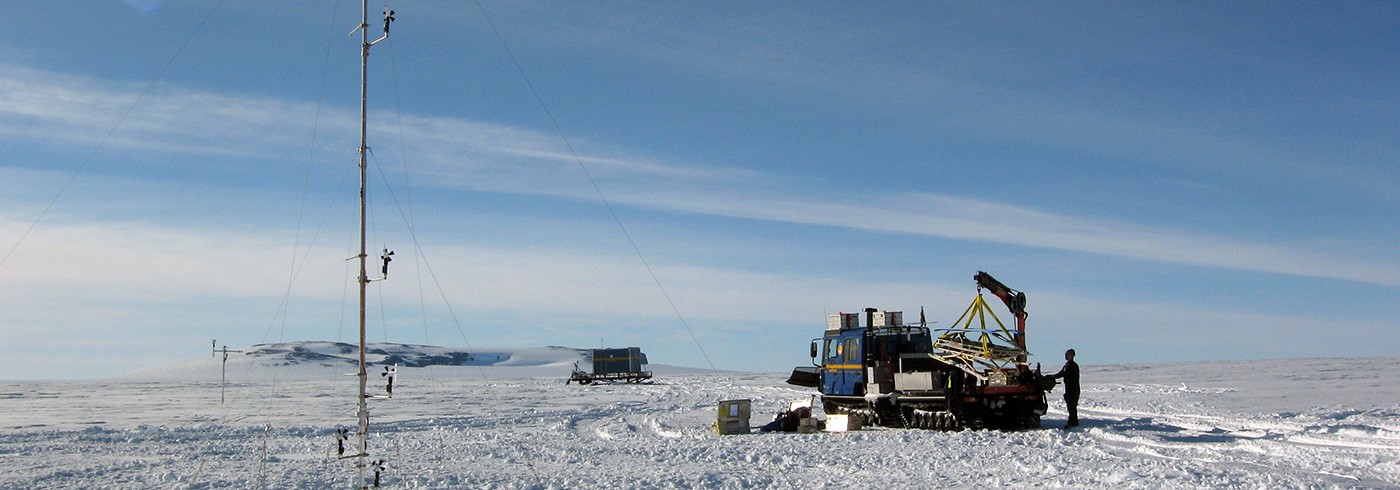
GPS site Svea – a Swedish reference station in Heimefrontfjella, Dronning Maud Land
29 November 2005 - 30 December 2006Backgound
Since the beginning of the 1990’s the SCAR working group on Geodesy and Geoinformatics has devoted much effort to establishing and measuring a GPS geodetic network over Antarctica with connection to other continents. The primary goal of the project, a part of the Geodetic Infrastructure of Antarctica (GIANT), is to estimate possible crustal motions and plate motions in the region. The network points also serve as accurate reference points for various scientific expeditions on the continent. Most GPS stations were primarily observed epochwise, as was the case with the Swedish site Wasa. However, permanent observation stations were also established early at permanently manned antarctic stations.
The program GIANT is responsible for the establishment and maintenance of a precise geodetic reference network linked to the International Terrestrial Reference Frame (ITRF). The research stations participating in the SCAR GPS epoch campaign of the antarctic summer 2004/05 were Base Artiga (supervised by Uruguay), Maitri (India), Mirny (Russia and Germany) and Svea (Sweden). Svea (picture), like some other stations, operated with a permanent GPS receiver all year round. At present the GIANT GPS network consists of 42 sites. The Department of Planetary Geodesy at the Technical University of Dresden has the responsibility of serving as a computing centre, and of maintaining the database of the SCAR Epoch Crustal Movement Campaigns.
In 2004/05 we established the unmanned GPS station Svea. This report describes the experiences we gained from this station after one year of observation.
The monitoring of the GPS site Svea
On 14th November 2004 we started GPS measurements at the permanent GPS reference station Svea in Heimefrontfjella. About one year later, on 29th November 2005, the Finnish antarctic expedition (FINNARP) 2005/06 – in cooperation with the Swedish Polar Research Secretariat – visited the Svea station to collect the data stored during the first year of observations. They did so by manual replacement of the memory card, and they also controlled the functioning of the instrument. This inspection and the following data analysis showed that the functionality of the instrument during its first year of life was excellent. The power supply to the receiver from six 12 V batteries, totally 600 Ah, functioned perfectly. It charged using solar panels and used a wind generator during the period of winter darkness. Site Svea has thereby been upgraded into a permanent reference GPS point in the GIANT network, and its first year data has been delivered to the international scientific community to be included in the joint analyses of the network. The quality of the stored data is very high.
The site location of Station Svea is: latitude 74°34’33.8’S, longitude 11°13’30.8’W and elevation 1 261.2 m (ellipsoidal height) in ITRF. Technical specifications are as follows: Receiver type is Trimble R7 and antenna type is Ashtech Dorne & Margolin with snow radome.
Acknowledgements
We want to thank Dr. Jaakko Mäkinen from the Finnish Geodetic Institute for collecting the data and performing the site inspection at Svea in the antarctic summer 2005/06.


