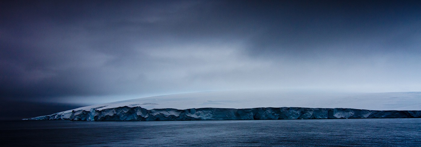
Towards an improved heat budget for the floating glaciers in Antarctica
13 December 2013 - 26 January 2014
Four years of bottom temperature record at mooring site S1
The Antarctic shelf regions are currently experiencing large changes coincident with seaward surging of the West Antarctic Ice Sheet. An important reason for the decline is warm salty ocean currents that accesses the floating glaciers through bathymetric troughs and melts the glacial ice from below.
The most rapid melting is presently occurring in the Amundsen Sea. Due to limited in-situ data, in particular from the central part of this shelf, the main pathways of the warm deep water are poorly known. Budgets for ocean heat, salt and freshwater on the shelf and at the terminus of the ice sheet have not been quantified.
The aim of the present project is to
- Quantify budgets for oceanic heat, salt and glacier melt water for the central Amundsen Shelf.
In addition, the obtained time series will be used to
- Quantify the variability of the oceanic heat transport on the shelf on time scales up to centennial
- Determine the importance of winds and large-scale ocean circulation as forcing factors for the inflow of warm water onto the shelf
This was the first of two cruises with the Korean research icebreaker Araon to the Amundsen Sea, to acquire and analyse data from autonomous moorings and hydrographic transects.
Expert assistance on board by the Araon captain and crew were greatly appreciated.

(a) Plot showing the pressure and temperature (according to color bar) as a function of time for the deepest sensor on mooring S3. The abrupt pressure drop at around 270 days is likely caused by an iceberg moving over the mooring and pushing the top buoy down by about 10 meters. The gradual decrease of pressure over the year may be caused by sensor drift which will be determined after recalibration. (b) The undulations are caused by tides, here an example of the neap- and spring tide cycles. (c) T-S diagram showing the mixture between warm deep water and glacier melt water.