In the morning hours it was time for our first research task – to survey a site called Bjørnhamna, consisting of a former claim- and hunters hut on a cape at the northwestern corner of Spitsbergen. The objective of this survey was to gather evidence which could help us map out the afterlife of the Sorgfjorden research station. When it was newly built at the turn of the last century, it consisted of a large two floor main building with sleeping and working rooms for the expedition members, as well as a number of buildings with auxiliary functions. Today, we knew from aerial photographs, the main building has collapsed and only parts of the building materials remain on site.
What processes can explain this current state of the Sorgfjorden station? Has the station been re-used after the end of the Arc-of-Meridian expedition and in that case how and why? One hypothesis is that hunters which have been active in the region through the 20th century have turned the abandoned buildings into a resource for building hunting huts and refuges.

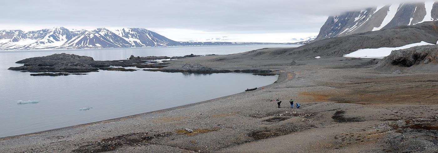
The Sorgfjorden expedition team preparing to leave Bjørnhamna. Photo: Dag Avango
The Bjørnhamna site proved to contain evidence supporting this hypothesis – a pile of wooden boards of the type which in Swedish is called “pärlspont”, painted with the traditional Swedish Falu red paint. The walls of the Sorgfjorden research station consisted of pärlspont boards in Falu red color.

Captain Terje skillfully maneuvering Ulla Rinman through the ice. Photo: Dag Avango
After a fast documentation of the site we continued our journey further north – a furthest north for most of us. On 16th century maps, the further north the bigger the sea-monsters become. The governor’s coast guard must have chased them all away, because when we passed 80° N the most monstrous thing we had seen was the drone we are using for making areal photography and 3D landscape models – Tryggve (named so after Tryggve Rubin, station manager at the Sorgfjorden station and later professor of Geodesy at KTH).
The journey along the north coast did involve ice obstacles, but not as bad as the ice maps suggested. Our captain and first mate always found little sounds and passages through the ice covered sea. Where everything looked closed from a distance, there was always a new passage. Thus, a little after eight we finally arrived at the Sorgfjorden station.
Encouraged by an amazingly good weather, we immediately went on land to make a first general survey to identify the main features at the site, such as the main building of the research station, the observatory, foundations for scientific instruments, the sauna and power station and the storage house. We also surveyed some features that might be considered “scrap”, such as a heap of broken brown bottles, and what was likely quite literally the scrap heap the expedition parties used. We include everything not only for the sake of doing a complete survey (the scientific instruments as well as the remains of the daily lives of scientists are significant) but also because interpretation of the site is something that is ongoing.
Tryggve the drone also had its first flight on site, but went a little berserk and had to be recalibrated. By then it was already midnight and we decided it was best to continue the next morning, a morning that turned out equally fine to the day before.