Wednesday 12 July
Our first full workday consisted of us working in three teams – one team doing qualitative descriptions of the features, and one team doing measurements with a total station and photo descriptions. The geodesists started their work to prepare for our joint documentation using a wide variety of methods – photo station, laser scanning, GPS/GNSS, drone based photogrammetry, and total station based photogrammetry. Two reindeer also visited us on site, nosing about for mosses. The first reindeer gave us quite a scare, as we for a few seconds thought that it was a polar bear. The clear blue skies and warm weather make for wonderful photos – and very long workdays.

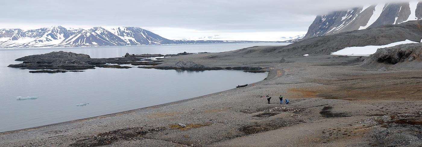
KTH geodesists establishing fix points at the Sorgfjorden station site. Photo: Dag Avango
Thursday 13 July
The third full day out in the field was quite different from the second – where the Wednesday offered us a still, blank ocean and a warming sun combined with quite “warm” temperatures, the Thursday offered us all a chance to discover whether our equipment and our field clothes were waterproof or not. Turns out, most of our shoes were not. The rain fell, combined with some winds but we preserved in the name of science. Unfortunately, our equipment did not always feel the same way so we experienced some technical difficulties due to the rain. We managed to get plenty of useful data anyway, but we could not let out Tryggve to play.

Remains of a station collecting meteorological data – an example of the type of archaeological record we documented during the expedition. Photo: Dag Avango
Friday 14 July
If the combination of wind and rain was a tad bit trying on us and on our technical equipment during the third day, the fourth day was a test of substantial proportions. The Friday was cut short due to deteriorating weather conditions – it was raining, hailing and blowing winds at storm capacity simultaneously. We still tried our best, because one does not simply travel to Svalbard without being prepared for such conditions. However, in mid-afternoon we realized that the inclement weather was making working with instruments nearly impossible. When one of the GNSS/GPS receivers, mounted on a heavy wooden tripod that was well grounded at the site, blew down in the storm, we called it a day. We had been out for several hours and were all soaking wet, so the soup that evening was very welcome.

Researchers and instruments trying to cope with rain and strong winds. Photo: Dag Avango
One preliminary conclusion from our methodology oriented comparative research is that in weather conditions such as the ones prevailing today, neither traditional methods nor high tech equipment for archaeological field documentation will work in a satisfactory way. Instead, we spent the evening comparing field notes and going through our initial data.